Restaurang Saxofonia
Restaurang Saxofonia is a restaurant in Sollentuna socken, Stockholm County. Restaurang Saxofonia is situated nearby to the sports venue Fitness 24/7, as well as near Helenelunds torg.| Tap on a place to explore it |
Places of Interest Nearby
Highlights include Helenelund railway station and Uppland Runic Inscription Fv1953;263.
Helenelund railway station
Railway station

Photo: Bengt Bäverman, CC BY-SA 3.0.
Helenelund is a station on Stockholm's commuter rail network, located 11.1 km north of Stockholm Central Station in the Helenelund district of Sollentuna Municipality. Helenelund railway station is situated 190 metres south of Restaurang Saxofonia.
Uppland Runic Inscription Fv1953;263
Runestone

Photo: Ulkl, Public domain.
Uppland Runic Inscription Fv1953;263 or U Fv1953;263 is the Rundata catalog listing for a Viking Age memorial runestone that was discovered at Helenelund, which is in Sollentuna, Stockholm County, Sweden, which was in the historic province of Uppland. Uppland Runic Inscription Fv1953;263 is situated 580 metres north of Restaurang Saxofonia.
Kummelby Church
Church

Photo: Ulkl, Public domain.
Kummelby Church is situated 550 metres north of Restaurang Saxofonia.
Places in the Area
Nearby places include Helenelund and Kista.

Kista
Suburb
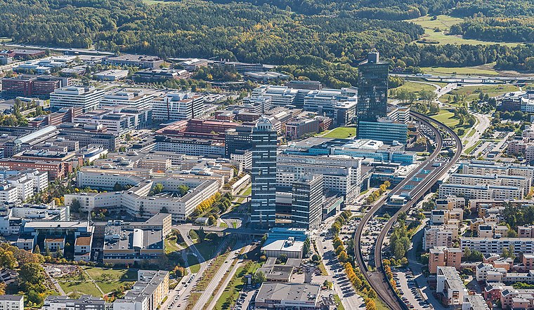
Photo: Wikiandchill, CC BY-SA 4.0.
Kista ( is a district in the borough of Rinkeby-Kista, Stockholm, Sweden. It has a strategic position located in between Sweden's main airport, the Stockholm-Arlanda International Airport and central Stockholm, and alongside the main national highway E4 economic artery.

Restaurang Saxofonia
- Type: Restaurant
- Category: food
- Location: Sollentuna socken, Sollentuna, Sollentuna Municipality, Stockholm County, Svealand, Sweden, Nordic countries, Europe
- View on OpenStreetMap
Latitude
59.41074° or 59° 24′ 39″ northLongitude
17.96324° or 17° 57′ 48″ eastOpen location code
9FFVCX67+77OpenStreetMap ID
node 1487015003OpenStreetMap feature
amenity=restaurant
This page is based on OpenStreetMap, Wikidata, and Wikimedia Commons.
We’d love your help improving our open data sources. Thank you for contributing.
Satellite Map
Discover Restaurang Saxofonia from above in high-definition satellite imagery.
Notable Places Nearby
Highlights include Fitness 24/7 and Helenelunds torg.
Nearby Places
Explore places such as Helenelunds centrum and Helenelunds Trafikskola.
Stockholm County: Must-Visit Destinations
Delve into Stockholm, Södermalm, Södertälje, and Norrmalm.
Curious Restaurants to Discover
Uncover intriguing restaurants from every corner of the globe.
About Mapcarta. Data © OpenStreetMap contributors and available under the Open Database License". Text is available under the CC BY-SA 4.0 license, except for photos, directions, and the map. Photo: Smiley.toerist, CC BY-SA 4.0.