Jersey Marine, Lay-by
Jersey Marine, Lay-by is a bus stop in Coedffranc, Neath Port Talbot, Wales. Jersey Marine, Lay-by is situated nearby to Earlswood Golf Course, as well as near Pant y Sais Stables.| Tap on a place to explore it |
Places of Interest Nearby
Highlights include Briton Ferry railway station and Bay Library.
Briton Ferry railway station
Railway station

Photo: John Lord, CC BY-SA 2.0.
Briton Ferry railway station is a minor station in the village of Briton Ferry, south Wales. It is 206 miles 40 chains from the zero point at London Paddington, measured via Stroud. Briton Ferry railway station is situated 1½ miles northeast of Jersey Marine, Lay-by.
Bay Library
Library

Photo: ISSoDD, CC BY-SA 4.0.
Bay Library is situated 1¼ miles west of Jersey Marine, Lay-by.
Baglan railway station
Railway station

Photo: Gareth Lovering, CC BY-SA 2.0.
Baglan railway station is a minor station in the village of Baglan in Neath Port Talbot county borough, south Wales. It is 204 miles 53 chains from the zero point at London Paddington, measured via Stroud. Baglan railway station is situated 2 miles southeast of Jersey Marine, Lay-by.
Places in the Area
Nearby places include Jersey Marine and Llandarcy.
Jersey Marine
Village
Jersey Marine is a village in Neath Port Talbot county borough, Wales, UK located about 3 miles east of Swansea. It falls within the Coedffranc West ward.
Llandarcy
Village

Photo: Steve Rigg, CC BY-SA 2.0.
Llandarcy is a village near Neath in the Neath Port Talbot county borough, Wales, and was the site of the first oil refinery in the United Kingdom. It was originally designed as a garden village to house the workers for the BP refinery built between 1918 and 1922.
Briton Ferry
Town
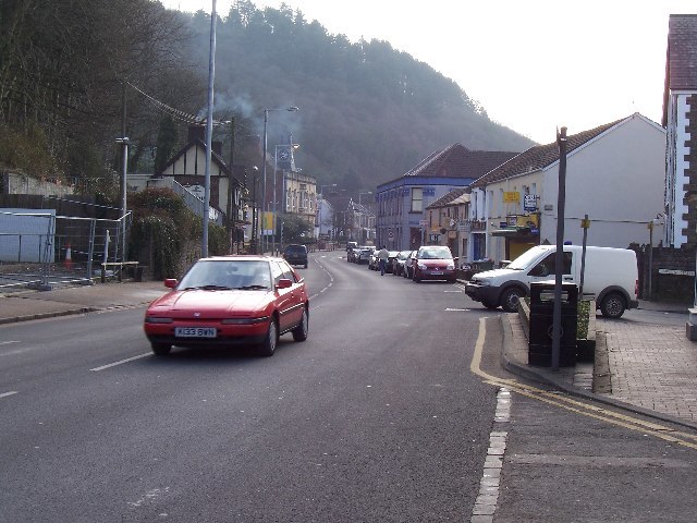
Photo: Steve Rigg, CC BY-SA 2.0.
Briton Ferry is a town and community in the county borough of Neath Port Talbot, Wales. The Welsh name may indicate that the church, llan, is protected from the wind, awel.
Jersey Marine, Lay-by
- Type: Bus stop
- Category: transportation
- Location: Coedffranc, Neath Port Talbot, Wales, United Kingdom, Britain and Ireland, Europe
- View on OpenStreetMap
Latitude
51.62528° or 51° 37′ 31″ northLongitude
-3.84857° or 3° 50′ 55″ westOpen location code
9C3RJ5G2+4HOpenStreetMap ID
node 1802314991OpenStreetMap feature
highway=bus_stop
This page is based on OpenStreetMap, Wikidata, and Wikimedia Commons.
We’d love your help improving our open data sources. Thank you for contributing.
Satellite Map
Discover Jersey Marine, Lay-by from above in high-definition satellite imagery.
Notable Places Nearby
Highlights include Earlswood Golf Course and Pant y Sais Stables.
Nearby Places
Explore places such as Jersey Marine, Lay-by and Swansea Bay Golf Club.
Wales: Must-Visit Destinations
Delve into Cardiff, Swansea, Newport, and Llanfairpwllgwyngyll.
Curious Bus Stops to Discover
Uncover intriguing bus stops from every corner of the globe.
About Mapcarta. Data © OpenStreetMap contributors and available under the Open Database License". Text is available under the CC BY-SA 4.0 license, except for photos, directions, and the map. Photo: fionamcallisterphotography, CC BY 2.0.