Legars
Legars is a hamlet in Scottish Borders, Scotland. Legars is situated nearby to the hamlet Hume Mill, as well as near Humehall.| Tap on a place to explore it |
Places of Interest
Highlights include Hume Castle and Stichill Kirk.
Hume Castle
Scenic viewpoint

Photo: james denham, CC BY-SA 2.0.
Hume Castle is the heavily modified remnants of a late 12th- or early 13th-century castle of enceinte held by the powerful Hume or Home family, Wardens of the Eastern March who became successively the Lords Home and the Earls of Home.
Stichill Kirk
Church

Photo: Walter Baxter, CC BY-SA 2.0.
Stichill Kirk is an ancient church situated in the village of Stichill in the old county of Roxburghshire, now part of the Scottish Borders Council in Scotland.
Places in the Area
Nearby places include Hume and Stichill.
Hume
Village

Photo: Greg5030, CC BY-SA 3.0.
Hume is a village in Berwickshire, in the Scottish Borders area of Scotland. On the B6364, it lies 7 miles from Kelso, Roxburghshire. It is close to other villages and amenities, e.g. Brotherstone Hill, Smailholm, Smailholm Tower, Floors Castle, Stichill, Lambden, Nenthorn, Ednam, Birgham and Gordon.
Stichill
Village
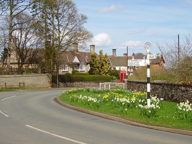
Photo: Wikimedia, CC BY-SA 2.0.
Stichill is a village and civil parish in the historic county of Roxburghshire, a division of the Scottish Borders. Situated 2 miles north of the Burgh of Kelso, Stichill lies north of the Eden Water and 5 miles from the English Border at Coldstream.
Ednam
Village

Photo: Wikimedia, CC BY-SA 2.0.
Ednam is a small village near Kelso in the Scottish Borders area of Scotland. Places nearby include Stichill, Sprouston, Nenthorn, Eccles, Gordon, Greenlaw as well as Floors Castle. Ednam is situated 2½ miles southeast of Legars.
Legars
- Type: Hamlet
- Category: locality
- Location: Scottish Borders, Scotland, United Kingdom, Britain and Ireland, Europe
- View on OpenStreetMap
Latitude
55.65756° or 55° 39′ 27″ northLongitude
-2.45529° or 2° 27′ 19″ westOpen location code
9C7VMG5V+2VOpenStreetMap ID
node 1917349370OpenStreetMap feature
place=hamlet
This page is based on OpenStreetMap, Wikidata, and Wikimedia Commons.
We’d love your help improving our open data sources. Thank you for contributing.
Satellite Map
Discover Legars from above in high-definition satellite imagery.
Places with the Same Name
Discover other places named “Legars”.
Localities in the Area
Explore places such as Hume Mill and Humehall.
Notable Places Nearby
Highlights include Queenscairn Hill and Glebe.
Scottish Borders: Must-Visit Destinations
Delve into Jedburgh, Melrose, Hawick, and Kelso.
Curious Hamlets to Discover
Uncover intriguing hamlets from every corner of the globe.
About Mapcarta. Data © OpenStreetMap contributors and available under the Open Database License". Text is available under the CC BY-SA 4.0 license, except for photos, directions, and the map. Photo: Andrew Bowden, CC BY-SA 2.0.