GR-boom Muziekbos
GR-boom Muziekbos is in Ronse, Arrondissement of Oudenaarde, Flanders. GR-boom Muziekbos is situated nearby to the peak Muziekberg, as well as near Fortuinberg.| Tap on a place to explore it |
Places of Interest Nearby
Highlights include Kanarieberg and Onze-Lieve-Vrouw van La Salettekerk.
Kanarieberg
Peak

Photo: Jaribi, CC BY-SA 4.0.
Kanarieberg is the name of a road and hill in the municipality of Ronse, in the Belgian province of East Flanders. With its top at 131 m, it is one of the many hills in the Flemish Ardennes, located in the heart of the hill region.
Onze-Lieve-Vrouw van La Salettekerk
Church
 Onze-Lieve-Vrouw van La Salettekerk is a church, which is situated 600 metres northwest of GR-boom Muziekbos.

Places in the Area
Nearby places include Louise-Marie and Maarkedal.
Louise-Marie
Hamlet
 Louise-Marie is a hamlet partly belonging to the municipality of Ronse and partly to the municipality of Maarkedal. It is located in the Flemish Ardennes, the southern part of the province of East Flanders, Belgium.
Maarkedal
Village

Photo: Lord P in the Commons, CC BY-SA 3.0.
Maarkedal is a municipality located in the Belgian province of East Flanders. The municipality comprises the towns of Etikhove, Maarke-Kerkem, Nukerke and Schorisse, and part of the hamlet of Louise-Marie. Maarkedal is situated 3½ km north of GR-boom Muziekbos.
La Houppe
Hamlet
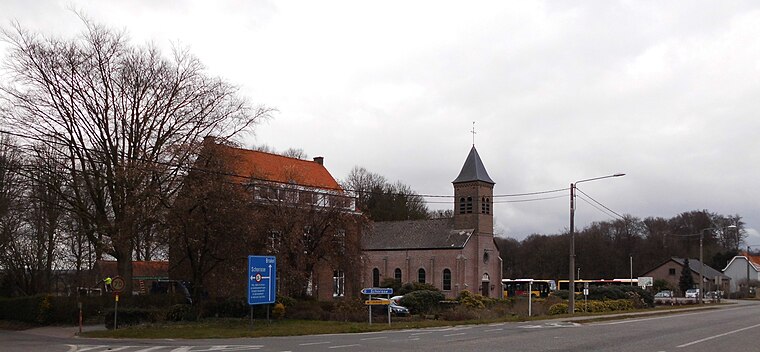
Photo: Spotter2, CC BY-SA 4.0.
La Houppe is a hamlet, which is situated 4½ km east of GR-boom Muziekbos.
GR-boom Muziekbos
- Type: Sign
- Categories: information and tourism
- Location: Ronse, Arrondissement of Oudenaarde, East Flanders, Flanders, Belgium, Benelux, Europe
- View on OpenStreetMap
Latitude
50.7663° or 50° 45′ 59″ northLongitude
3.64873° or 3° 38′ 55″ eastOpen location code
9F25QJ8X+GFOpenStreetMap ID
node 1970744449OpenStreetMap feature
tourism=information
This page is based on OpenStreetMap, Wikidata, and Wikimedia Commons.
We’d love your help improving our open data sources. Thank you for contributing.
Satellite Map
Discover GR-boom Muziekbos from above in high-definition satellite imagery.
Notable Places Nearby
Highlights include Muziekberg and Fortuinberg.
Nearby Places
Explore places such as Chalet Boekzitting and Ronse Boekzitting - Renaix Boekzitting.
East Flanders: Must-Visit Destinations
Delve into Ghent, Aalst, Sint-Niklaas, and Dendermonde.
Curious Places to Discover
Uncover intriguing places from every corner of the globe.
About Mapcarta. Data © OpenStreetMap contributors and available under the Open Database License". Text is available under the CC BY-SA 4.0 license, except for photos, directions, and the map. Photo: Saber68, CC BY-SA 3.0.