مركز كنا
مركز كنا is a supermarket in Northern District, Israel. مركز كنا is situated nearby to the monastery Greek Orthodox Convent, as well as near the town Mashhad.| Tap on a place to explore it |
Places of Interest Nearby
Highlights include Har Hoshaya.
Har Hoshaya
Peak
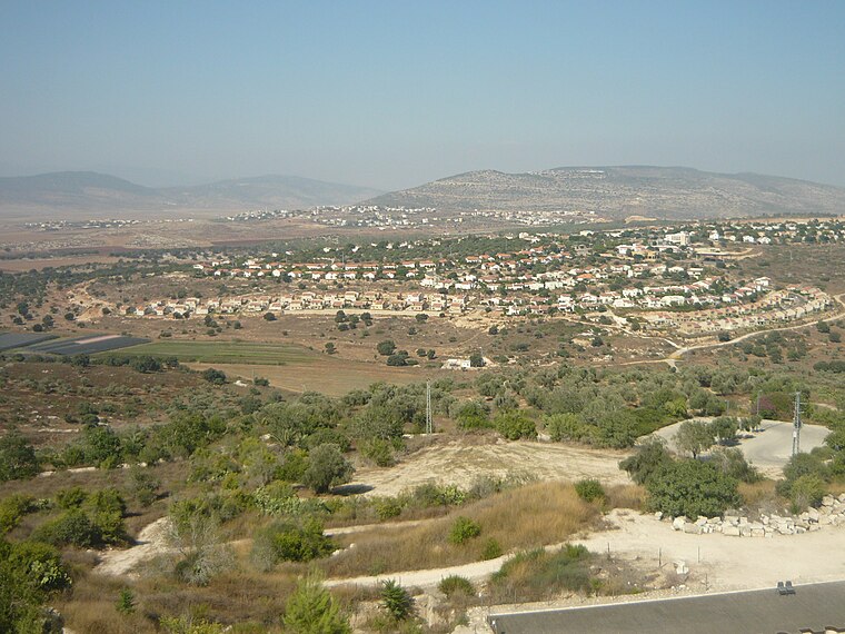
Photo: Almog, Public domain.
Har Hoshaya is a peak, which is situated 4 km northwest of مركز كنا.
Places in the Area
Nearby places include Mashhad and Kafr Kanna.
Mashhad
Town

Photo: Hanay, CC BY-SA 3.0.
Mashhad is an Arab town located 5 kilometers northeast of Nazareth in Israel's Northern District. In 2023 it had a population of 8,695, most of whom were Muslims.
Kafr Kanna
Town
Kafr Kanna is an Arab town in the Galilee, part of the Northern District of Israel. It is associated by Christians with the New Testament village of Cana, where Jesus turned water into wine.
Ein Mahil
Town

Photo: Beny Shlevich, CC BY-SA 3.0.
Ein Mahil is an Arab local council in the Northern District of Israel, located about five kilometers north-east of Nazareth. It was declared a local council in 1964. In 2023 it had a population of 13,834; 100% were Muslims. Ein Mahil is situated 2½ km southeast of مركز كنا.
مركز كنا
- Type: Supermarket
- Address: كفر كنا
- Categories: shop and food
- Location: Northern District, Israel, Middle East, Asia
- View on OpenStreetMap
Latitude
32.74067° or 32° 44′ 26″ northLongitude
35.33457° or 35° 20′ 4″ eastOpen location code
8G4QP8RM+7ROpenStreetMap ID
node 2045110114OpenStreetMap feature
shop=supermarket
This page is based on OpenStreetMap, Wikidata, and Wikimedia Commons.
We’d love your help improving our open data sources. Thank you for contributing.
Satellite Map
Discover مركز كنا from above in high-definition satellite imagery.
In Other Languages
From Arabic to Hebrew—“مركز كنا” goes by many names.
- Arabic: “مركز كنا”
- Hebrew: “כנא סנטר”
Notable Places Nearby
Highlights include Greek Orthodox Convent and Tel Gat Hefer.
Nearby Places
Explore places such as Kafr Kanna A/Entry and Paz.
Israel: Must-Visit Destinations
Delve into Tel Aviv, Carmel Range, Haifa, and Nazareth.
Curious Supermarkets to Discover
Uncover intriguing supermarkets from every corner of the globe.
About Mapcarta. Data © OpenStreetMap contributors and available under the Open Database License". Text is available under the CC BY-SA 4.0 license, except for photos, directions, and the map. Photo: Bienchido, CC BY-SA 3.0.