Teut - Ten Hagendoorn
Teut - Ten Hagendoorn is in Zonhoven, Hasselt, Flanders. Teut - Ten Hagendoorn is situated nearby to the scenic viewpoint Teutheuvel, as well as near the community center Road Runners Flyball.| Tap on a place to explore it |
Places of Interest Nearby
Highlights include Genaderse Molen and Teut.
Genaderse Molen
Watermill

Photo: Sonuwe, CC BY-SA 3.0.
Genaderse Molen is a watermill, which is situated 1 km north of Teut - Ten Hagendoorn.
Teut
Protected area

Photo: Paul Hermans, CC BY-SA 3.0.
Teut is a protected area, which is situated 1½ km east of Teut - Ten Hagendoorn.

Places in the Area
Nearby places include Zonhoven and Houthalen.
Zonhoven
Town

Photo: Paul Hermans, CC BY-SA 3.0.
Zonhoven is a municipality located in the middle of the Belgian province of Limburg located north of Hasselt and also borders Houthalen-Helechteren, Genk and Heusden-Zolder. Zonhoven is situated 2½ km southwest of Teut - Ten Hagendoorn.
Houthalen
Village
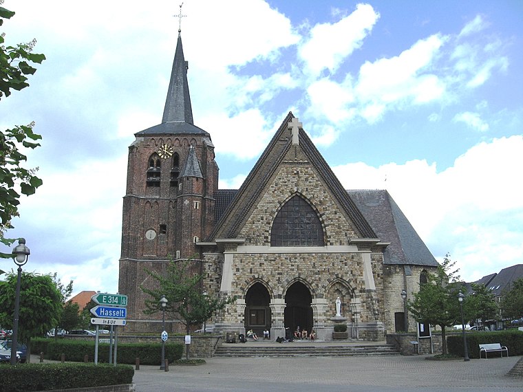
Photo: Sonuwe, CC BY-SA 3.0.
Houthalen is a village, which is situated 3½ km northwest of Teut - Ten Hagendoorn.
Houthalen-Helchteren
Town

Photo: Sonuwe, CC BY-SA 3.0.
Houthalen-Helchteren is a municipality located in the Belgian province of Limburg. Houthalen-Helchteren consists of Houthalen-centrum, Houthalen-Oost, Helchteren, Sonnis, Laak, Meulenberg and Lillo. Houthalen-Helchteren is situated 4½ km north of Teut - Ten Hagendoorn.
Teut - Ten Hagendoorn
Latitude
51.00578° or 51° 0′ 21″ northLongitude
5.39645° or 5° 23′ 47″ eastOpen location code
9F37294W+8HOpenStreetMap ID
node 2097353191OpenStreetMap feature
tourism=information
This page is based on OpenStreetMap, Wikidata, and Wikimedia Commons.
We’d love your help improving our open data sources. Thank you for contributing.
Satellite Map
Discover Teut - Ten Hagendoorn from above in high-definition satellite imagery.
Places with the Same Name
Discover other places named “Teut - Ten Hagendoorn”.
Notable Places Nearby
Highlights include Teutheuvel and Road Runners Flyball.
Nearby Places
Explore places such as De Wijer Lange afstandswandeling and P2 Teut.
Limburg: Must-Visit Destinations
Delve into Sint-Truiden, Tongeren, Genk, and Maasmechelen.
Curious Places to Discover
Uncover intriguing places from every corner of the globe.
About Mapcarta. Data © OpenStreetMap contributors and available under the Open Database License". Text is available under the CC BY-SA 4.0 license, except for photos, directions, and the map. Photo: Jeanhousen, CC BY 3.0.