Palira
Palira is a hamlet in Plesio, Province of Como, Lombardy. Palira is situated nearby to the hamlet Barì, as well as near Molino Spinzi.| Tap on a place to explore it |
Places of Interest
Highlights include San Gregorio Church and Cappella dell’Annunciata.


Monte Grona
Peak

Photo: Kaitu, CC BY-SA 4.0.
Monte Grona is a mountain of Lombardy, Italy. It has an elevation of 1,736 metres and belongs to the province of Como.
Places in the Area
Nearby places include Barì and Breglia.


Plesio
Village
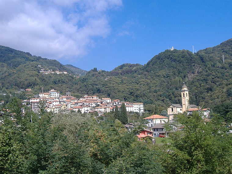
Photo: Kibira, Public domain.
Plesio is a comune in the Province of Como in the Italian region Lombardy, located about 70 kilometres north of Milan and about 30 kilometres northeast of Como.
Palira
- Type: Hamlet
- Category: locality
- Location: Plesio, Province of Como, Lombardy, Northwest Italy, Italy, Europe
- View on OpenStreetMap
Latitude
46.05322° or 46° 3′ 12″ northLongitude
9.22459° or 9° 13′ 29″ eastOpen location code
8FRF363F+7ROpenStreetMap ID
node 2334881478OpenStreetMap feature
place=hamlet
This page is based on OpenStreetMap, Wikidata, and Wikimedia Commons.
We’d love your help improving our open data sources. Thank you for contributing.
Satellite Map
Discover Palira from above in high-definition satellite imagery.
Localities in the Area
Explore places such as Molino Spinzi and Ponte.
Notable Places Nearby
Highlights include Chiarella fountain and Ciapp dela mugia.
Lombardy: Must-Visit Destinations
Delve into Milan, Bergamo, Brescia, and Mantua.
Curious Hamlets to Discover
Uncover intriguing hamlets from every corner of the globe.
About Mapcarta. Data © OpenStreetMap contributors and available under the Open Database License". Text is available under the CC BY-SA 4.0 license, except for photos, directions, and the map. Photo: Wiki rkit, CC BY-SA 4.0.