Loimayerkreuz
Loimayerkreuz is a wayside cross in Zwettl, Lower Austria. Loimayerkreuz is situated nearby to the cave Graslhöhle, as well as near the quarry Alter Steinbruch Zwettltal.| Tap on a place to explore it |
Places of Interest Nearby
Highlights include FF Moidrams and Evangelische Kirche.
FF Moidrams
Fire station

Photo: Duke of W4, CC BY-SA 4.0.
FF Moidrams is a fire station, which is situated 1¼ km southeast of Loimayerkreuz.
Evangelische Kirche
Church
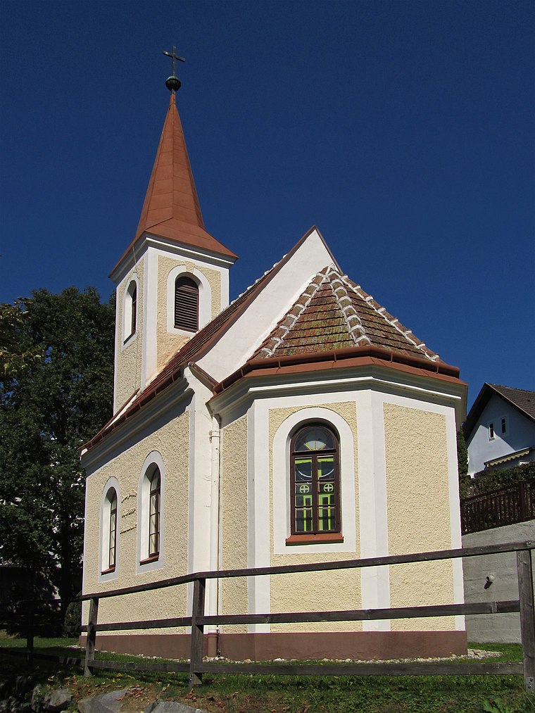
Photo: Duke of W4, CC BY-SA 3.0 at.
Evangelische Kirche is a church, which is situated 1½ km east of Loimayerkreuz.

Places in the Area
Nearby places include Kleinotten.
Kleinotten
Village

Photo: Kwerdenker, CC BY-SA 3.0.
Kleinotten is a village, which is situated 9 km north of Loimayerkreuz.
Loimayerkreuz
- Type: Wayside cross
- Inscription: “„Zum Gedenken an Alois Loimayer verunglückt am 17.10.2003 im 46. Lebensj.“”
- Category: historic site
- Location: Zwettl, Zwettl District, Lower Austria, Austria, Central Europe, Europe
- View on OpenStreetMap
Latitude
48.6048° or 48° 36′ 17″ northLongitude
15.14363° or 15° 8′ 37″ eastOpen location code
8FWQJ43V+WFOpenStreetMap ID
node 2550093903OpenStreetMap feature
historic=wayside_cross
This page is based on OpenStreetMap, Wikidata, and Wikimedia Commons.
We’d love your help improving our open data sources. Thank you for contributing.
Satellite Map
Discover Loimayerkreuz from above in high-definition satellite imagery.
Notable Places Nearby
Highlights include Graslhöhle and Alter Steinbruch Zwettltal.
Nearby Places
Explore places such as Greilkreuz and Wirtshaus im Demutsgraben.
Lower Austria: Must-Visit Destinations
Delve into St. Pölten, Wiener Neustadt, Amstetten, and Klosterneuburg.
Curious Wayside Crosses to Discover
Uncover intriguing wayside crosses from every corner of the globe.
About Mapcarta. Data © OpenStreetMap contributors and available under the Open Database License". Text is available under the CC BY-SA 4.0 license, except for photos, directions, and the map. Photo: Lonezor, CC BY-SA 3.0.