Schüler-Waldlehrpfad
Schüler-Waldlehrpfad is in Hollabrunn, Lower Austria. Schüler-Waldlehrpfad is situated nearby to the fire station Freiwillige Feuerwehr Puch, as well as near the peak Pankratzberg.| Tap on a place to explore it |
Places of Interest Nearby
Highlights include Pankratzberg and Breitenwaida Kirche.
Breitenwaida Kirche
Church
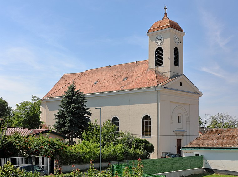
Photo: Bwag, CC BY-SA 4.0.
Breitenwaida Kirche is a church, which is situated 2 km east of Schüler-Waldlehrpfad.
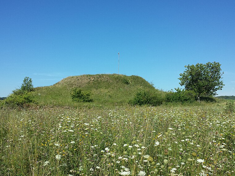
Haberg
Peak

Photo: Stefan.lefnaer, CC BY-SA 4.0.
Haberg is a peak, which is situated 3 km southeast of Schüler-Waldlehrpfad.
Places in the Area
Nearby places include Raschala.
Raschala
Village

Photo: Maclemo, CC BY-SA 4.0.
Raschala is a village, which is situated 5 km northeast of Schüler-Waldlehrpfad.
Schüler-Waldlehrpfad
- Type: Map
- Categories: information and tourism
- Location: Hollabrunn, Hollabrunn District, Lower Austria, Austria, Central Europe, Europe
- View on OpenStreetMap
Latitude
48.50808° or 48° 30′ 29″ northLongitude
16.04004° or 16° 2′ 24″ eastOpen location code
8FWRG25R+62OpenStreetMap ID
node 2617582151OpenStreetMap feature
tourism=information
This page is based on OpenStreetMap, Wikidata, and Wikimedia Commons.
We’d love your help improving our open data sources. Thank you for contributing.
Satellite Map
Discover Schüler-Waldlehrpfad from above in high-definition satellite imagery.
Notable Places Nearby
Highlights include Freiwillige Feuerwehr Puch and Spielplatz Puch.
Nearby Places
Explore places such as Waldwegmarterl and Rosa Penz Wegkreuz.
Lower Austria: Must-Visit Destinations
Delve into St. Pölten, Wiener Neustadt, Amstetten, and Klosterneuburg.
Curious Places to Discover
Uncover intriguing places from every corner of the globe.
About Mapcarta. Data © OpenStreetMap contributors and available under the Open Database License". Text is available under the CC BY-SA 4.0 license, except for photos, directions, and the map. Photo: Lonezor, CC BY-SA 3.0.