De Surinaamse Winkel
De Surinaamse Winkel is a convenience store in The Hague, Rotterdam-The Hague Metropolitan Region, South Holland which is located on Leyweg. De Surinaamse Winkel is situated nearby to the church Adventkerk, as well as near the quarter Morgenstond.| Tap on a place to explore it |
Places of Interest Nearby
Highlights include Emmauskerk and HagaZiekenhuis hospital, Leyenburg branch.
Emmauskerk
Church

Photo: Joris, CC BY-SA 3.0.
Emmauskerk is a church, which is situated 260 metres east of De Surinaamse Winkel.
HagaZiekenhuis hospital, Leyenburg branch
Hospital

Photo: Tubantia, CC BY-SA 3.0.
HagaZiekenhuis hospital, Leyenburg branch is situated 1 km northwest of De Surinaamse Winkel.
Shopping mall Leyweg
Commercial area
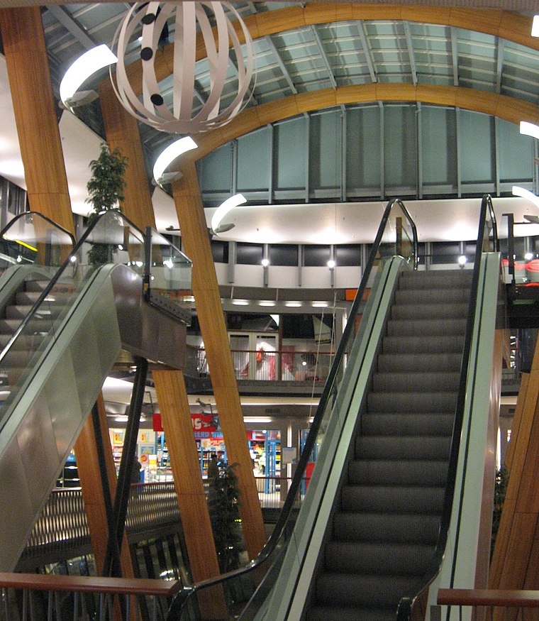
Photo: Wikimedia, CC BY-SA 4.0.
Shopping mall Leyweg is a commercial area, which is situated 370 metres southeast of De Surinaamse Winkel.
Places in the Area
Nearby places include Morgenstond and Escamp.
Morgenstond
Quarter
Morgenstond is a 'wijk' in the south of The Hague in the Escamp 'stadsdeel'. Morgenstond was built during the early 50s and borders Bouwlust and Vrederust in the west, Leyenburg and Houtwijk in the north, Moerwijk and Zuiderpark in the east and Wateringse Veld in the south.
Escamp
Suburb

Photo: 1Veertje, CC BY-SA 3.0.
Escamp is a district of The Hague, Netherlands, built largely after the Second World War, on the 15th century Eskamppolders. With the addition of the Vinex neighbourhood Wateringse Veld, Escamp is the most populous district of the city; as of 1 January 2024, it had 132,119 inhabitants.
Houtwijk
Neighborhood

Photo: Smiley.toerist, CC BY-SA 3.0.
Houtwijk is a neighbourhood of The Hague, located in the Loosduinen district, with more than 5,000 homes. Houtwijk mainly contains a lot of new constructions that were built both in and after the 1970s and 1980s.
De Surinaamse Winkel
- Type: Convenience store
- Address: Leyweg 535C, ‘s-Gravenhage, 2545GG
- Categories: shop and food
- Location: The Hague, Rotterdam-The Hague Metropolitan Region, South Holland, Western Netherlands, Netherlands, Benelux, Europe
- View on OpenStreetMap
Latitude
52.05052° or 52° 3′ 2″ northLongitude
4.27307° or 4° 16′ 23″ eastOpen location code
9F46372F+66OpenStreetMap ID
node 2732203313OpenStreetMap feature
shop=convenience
This page is based on OpenStreetMap, Wikidata, and Wikimedia Commons.
We’d love your help improving our open data sources. Thank you for contributing.
Satellite Map
Discover De Surinaamse Winkel from above in high-definition satellite imagery.
Notable Places Nearby
Highlights include Adventkerk and Theater Dakota.
Nearby Places
Explore places such as Studio 5.3.7. and Dierenkliniek Leyweg.
Rotterdam-The Hague Metropolitan Region: Must-Visit Destinations
Delve into Rotterdam, Delft, Zoetermeer, and Centrum.
Curious Convenience Stores to Discover
Uncover intriguing convenience stores from every corner of the globe.
About Mapcarta. Data © OpenStreetMap contributors and available under the Open Database License". Text is available under the CC BY-SA 4.0 license, except for photos, directions, and the map. Photo: 1Veertje, CC BY-SA 3.0.