cancellieri
cancellieri is a gas station in Viterbo, Viterbo, Lazio. cancellieri is situated nearby to the sports venue CUS Viterbo, as well as near Bowling Ciao.| Tap on a place to explore it |
Places of Interest Nearby
Highlights include Rome Viterbo Airport and National Etruscan Museum ‘Rocca Albornoz’.
Rome Viterbo Airport
Aerodrome

Photo: Raboe001, CC BY-SA 3.0.
Rome Viterbo Airport (Italian: Aeroporto di Roma-Viterbo is a proposed re-use of Viterbo Air Force Base, a civilian, commercial and military airport about 80 kilometres north of Rome, Italy.
National Etruscan Museum ‘Rocca Albornoz’
Museum
 National Etruscan Museum ‘Rocca Albornoz’ is situated 2½ km east of cancellieri.
Viterbo Porta Fiorentina railway station
Railway station
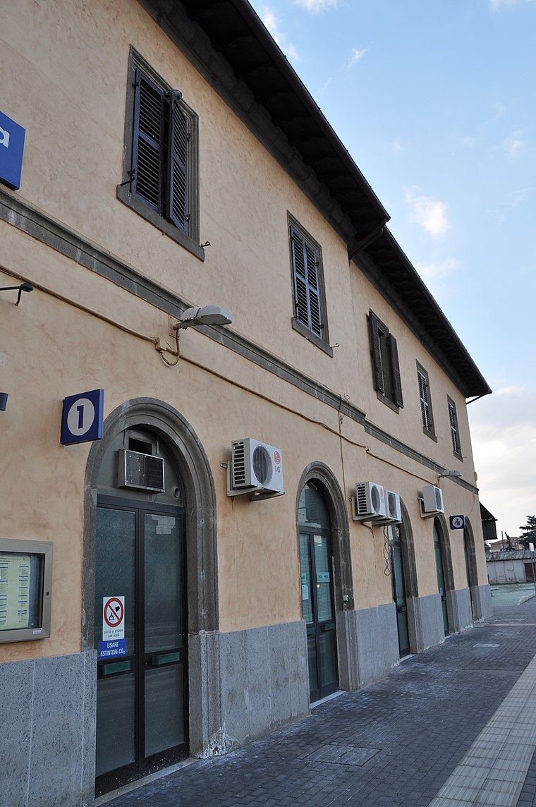
Photo: Ben Skála, CC BY-SA 3.0.
Viterbo Porta Fiorentina railway station is situated 2½ km east of cancellieri.
Places in the Area
Nearby places include San Pellegrino and Bagnaia.

Bagnaia
Village
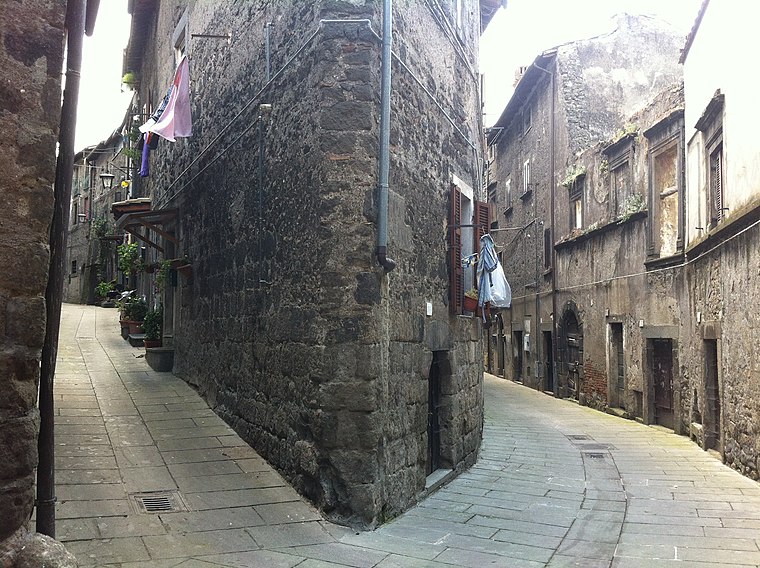
Photo: Giant60az, CC BY-SA 3.0.
Bagnaia is a village in Lazio, central Italy, administratively a frazione of the comune of Viterbo, province of Viterbo. Former municipality, it was annexed to the comune of Viterbo in 1928. Bagnaia is situated 6 km east of cancellieri.
San Martino al Cimino
Village

Photo: Blackcat, CC BY-SA 3.0.
San Martino al Cimino is a hamlet located a few kilometers south of Viterbo, at the top of Mount Cimino, in the Province of Viterbo within Lazio, Italy. San Martino al Cimino is situated 8 km southeast of cancellieri.
cancellieri
- Type: Gas station
- Category: transportation
- Location: Viterbo, Viterbo, Lazio, Central Italy, Italy, Europe
- View on OpenStreetMap
Latitude
42.42966° or 42° 25′ 47″ northLongitude
12.07814° or 12° 4′ 41″ eastBrand
Cancellieri CarburantiOperator
Cancellieri Carburanti S.R.L.Open location code
8FJJC3HH+V7OpenStreetMap ID
node 2878481421OpenStreetMap feature
amenity=fuel
This page is based on OpenStreetMap, Wikidata, and Wikimedia Commons.
We’d love your help improving our open data sources. Thank you for contributing.
Satellite Map
Discover cancellieri from above in high-definition satellite imagery.
Places with the Same Name
Discover other places named “cancellieri”.
Notable Places Nearby
Highlights include CUS Viterbo and Bowling Ciao.
Nearby Places
Explore places such as Hyundai Viterbo and Centroauto Ufficio vendite.
Viterbo: Must-Visit Destinations
Delve into Tarquinia, Montefiascone, Civita Castellana, and Tuscania.
Curious Gas Stations to Discover
Uncover intriguing gas stations from every corner of the globe.
About Mapcarta. Data © OpenStreetMap contributors and available under the Open Database License". Text is available under the CC BY-SA 4.0 license, except for photos, directions, and the map. Photo: Mac9, CC BY-SA 3.0.