De Dolle Haring
De Dolle Haring is a pub in Bree, Arrondissement of Maaseik, Flanders which is located on Stationswal. De Dolle Haring is situated nearby to the theater building Breughelzaal, as well as near the health club InfraLigne.| Tap on a place to explore it |
Places of Interest Nearby
Highlights include City hall of Bree and Sint-Michielscollege.
City hall of Bree
Town hall

Photo: Paul Hermans, CC BY-SA 4.0.
City hall of Bree is a town hall, which is situated 260 metres west of De Dolle Haring.
Sint-Michielscollege
Town hall

Photo: Sonuwe, CC BY-SA 3.0.
Sint-Michielscollege is a town hall, which is situated 290 metres northwest of De Dolle Haring.
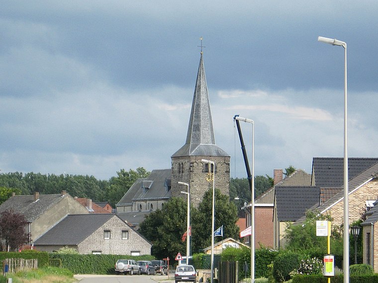
Sint-Michielskerk
Church

Photo: Sonuwe, CC BY-SA 3.0.
Sint-Michielskerk is a church, which is situated 230 metres west of De Dolle Haring.
Places in the Area
Nearby places include Beek and Gerkenberg.

Reppel
Village

Photo: Sonuwe, CC BY-SA 3.0.
Reppel is a village, which is situated 3 km northwest of De Dolle Haring.
De Dolle Haring
- Type: Pub
- Address: Stationswal 3, Bree, 3960
- Location: Bree, Arrondissement of Maaseik, Limburg, Flanders, Belgium, Benelux, Europe
- View on OpenStreetMap
Latitude
51.14069° or 51° 8′ 27″ northLongitude
5.60099° or 5° 36′ 4″ eastOpen location code
9F374JR2+79OpenStreetMap ID
node 3057128312OpenStreetMap feature
amenity=pub
This page is based on OpenStreetMap, Wikidata, and Wikimedia Commons.
We’d love your help improving our open data sources. Thank you for contributing.
Satellite Map
Discover De Dolle Haring from above in high-definition satellite imagery.
Notable Places Nearby
Highlights include Breughelzaal and InfraLigne.
Nearby Places
Explore places such as Felano May and Era ImmoGo.
Limburg: Must-Visit Destinations
Delve into Sint-Truiden, Hasselt, Tongeren, and Genk.
Curious Pubs to Discover
Uncover intriguing pubs from every corner of the globe.
About Mapcarta. Data © OpenStreetMap contributors and available under the Open Database License". Text is available under the CC BY-SA 4.0 license, except for photos, directions, and the map. Photo: Paul Hermans, CC BY-SA 3.0.