‘t Groentenboerke
‘t Groentenboerke is a farm shop in Roeselare, West Flanders, Flanders. ‘t Groentenboerke is situated nearby to the forest Koekuitbos, as well as near Teerlingenbos.| Tap on a place to explore it |
Places of Interest Nearby
Highlights include Sint-Godelievekerk and Sint-Henricuskerk.
Sint-Godelievekerk
Church
 Sint-Godelievekerk is a church, which is situated 1 km south of ‘t Groentenboerke.
Sint-Henricuskerk
Church
 Sint-Henricuskerk is a church, which is situated 2 km north of ‘t Groentenboerke.
Het Sterrebos
Park

Photo: Kelly Taveirne, CC BY-SA 4.0.
Het Sterrebos is a park, which is situated 3½ km northeast of ‘t Groentenboerke.
Places in the Area
Nearby places include Zilverberg and Moorslede.

Moorslede
Town
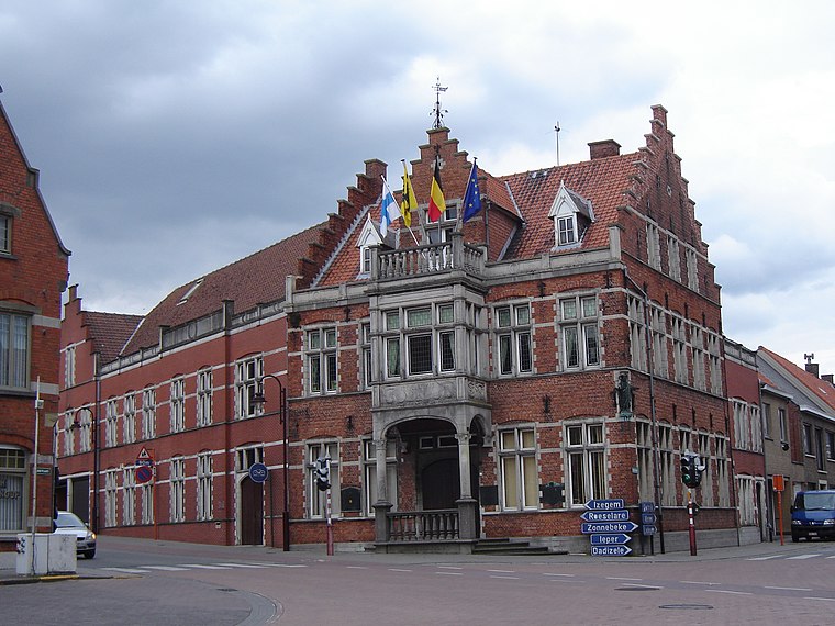
Photo: LimoWreck, CC BY-SA 3.0.
Moorslede is a municipality located in the Belgian province of West Flanders. The municipality comprises the towns of Dadizele, Slypskapelle and Moorslede proper. On 1 January 2006, Moorslede had a total population of 10,618. The total area is 35.34 km. Moorslede is situated 3½ km west of ‘t Groentenboerke.
Oekene
Village
Roeselare is a Belgian city and municipality in the Flemish province of West Flanders. The municipality comprises the city of Roeselare proper and the towns of Beveren, Oekene and Rumbeke. Oekene is situated 4 km northeast of ‘t Groentenboerke.
‘t Groentenboerke
- Type: Farm shop
- Categories: shop and food
- Location: Roeselare, Arrondissement of Roeselare, West Flanders, Flanders, Belgium, Benelux, Europe
- View on OpenStreetMap
Latitude
50.90162° or 50° 54′ 6″ northLongitude
3.11128° or 3° 6′ 41″ eastOpen location code
9F25W426+JGOpenStreetMap ID
node 3241032043OpenStreetMap feature
shop=farm
This page is based on OpenStreetMap, Wikidata, and Wikimedia Commons.
We’d love your help improving our open data sources. Thank you for contributing.
Satellite Map
Discover ‘t Groentenboerke from above in high-definition satellite imagery.
Notable Places Nearby
Highlights include Koekuitkasteel and Koekuitbos.
Nearby Places
Explore places such as Rumbeke Moorsleedsesteenweg and Hyundai.
West Flanders: Must-Visit Destinations
Delve into Bruges, Kortrijk, Ostend, and Ypres.
Curious Farm Shops to Discover
Uncover intriguing farm shops from every corner of the globe.
About Mapcarta. Data © OpenStreetMap contributors and available under the Open Database License". Text is available under the CC BY-SA 4.0 license, except for photos, directions, and the map. Photo: Velvet, CC BY-SA 3.0.