Alimentador: Porvenir 9-8
Alimentador: Porvenir 9-8 is a bus stop in Bosa, Bogotá D.C., Bogotá. Alimentador: Porvenir 9-8 is situated nearby to the shopping center Centro Comercial Trebolis, as well as near the movie theater Cinemark.| Tap on a place to explore it |
Places of Interest Nearby
Highlights include Portal de Las Américas.
Portal de Las Américas
Bus stop

Photo: EEIM, CC BY-SA 3.0.
Portal de las Américas is a terminus station of the TransMilenio mass-transit system of Bogotá, Colombia, which opened in the year 2000. Portal de Las Américas is situated 1½ km southeast of Alimentador: Porvenir 9-8.
Places in the Area
Nearby places include West Bogotá and Kennedy.
West Bogotá

Photo: Pedro Felipe, CC BY-SA 3.0.
The west also sometimes referred to as South Western Bogota is a huge region of Bogota, comprising the localities of Engativa, Fontibon, and Kennedy.
Kennedy
Neighborhood

Photo: Pedro Felipe, CC BY-SA 3.0.
Kennedy, or Ciudad Kennedy, is the eighth locality of Bogotá, capital of Colombia. It is located in the southwest of the city and is the second most populous being home to 14% of the city's residents. Kennedy is situated 3½ km east of Alimentador: Porvenir 9-8.
Techo
Neighborhood
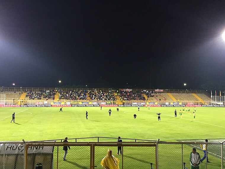
Photo: Scoelho86, CC BY-SA 4.0.
Techo is a neighbourhood of Bogotá, Colombia, part of the locality Kennedy. It contains a wetland of the same name, part of the Wetlands of Bogotá, Colombia. The wetland covers about 11 hectares. Techo is situated 4½ km east of Alimentador: Porvenir 9-8.
Alimentador: Porvenir 9-8
- Type: Bus stop
- Category: transportation
- Location: Bosa, Bogotá D.C., Bogotá, Andino, Colombia, South America
- View on OpenStreetMap
Latitude
4.63991° or 4° 38′ 24″ northLongitude
-74.18406° or 74° 11′ 3″ westOpen location code
67P7JRQ8+X9OpenStreetMap ID
node 3416898071OpenStreetMap feature
highway=bus_stop
This page is based on OpenStreetMap, Wikidata, and Wikimedia Commons.
We’d love your help improving our open data sources. Thank you for contributing.
Satellite Map
Discover Alimentador: Porvenir 9-8 from above in high-definition satellite imagery.
Notable Places Nearby
Highlights include Cinemark and Centro Comercial Trebolis.
Nearby Places
Explore places such as parada de Bisi-Taxis and Surti MAX.
Bogotá: Must-Visit Destinations
Delve into La Candelaria, Zona Rosa, Santa Fé-Los Mártires, and Usaquén.
Curious Bus Stops to Discover
Uncover intriguing bus stops from every corner of the globe.
About Mapcarta. Data © OpenStreetMap contributors and available under the Open Database License". Text is available under the CC BY-SA 4.0 license, except for photos, directions, and the map. Photo: Wikimedia, CC BY-SA 3.0.