De Gareelmaker
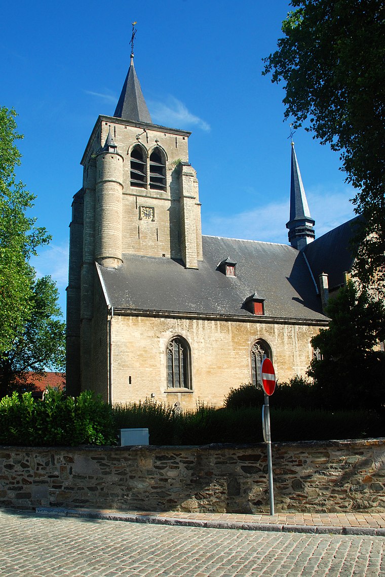
De Gareelmaker is a restaurant in Sint-Pieters-Leeuw, Arrondissement Halle-Vilvoorde, Flanders. De Gareelmaker is situated nearby to the church Sint-Pieterskerk, as well as near the art gallery Den Artiest.| Tap on a place to explore it |
Places of Interest Nearby
Highlights include Sint-Pieterskerk and Kasteel Coloma.
Kasteel Coloma
Community center
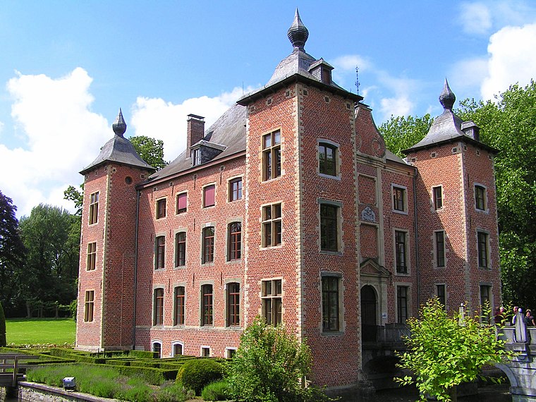 Kasteel Coloma is a community center, which is situated 320 metres east of De Gareelmaker.

Places in the Area
Nearby places include Lot and Vlezenbeek.
Lot
Village
Photo: Napoleon Vier, CC BY-SA 3.0.
Lot is a village in the municipality of Beersel, Belgium. A formerly autonomous village, it was merged with the villages of Beersel, Alsemberg, Dworp, and Huizingen to create the Beersel municipality. Lot is situated 3 km southeast of De Gareelmaker.
Vlezenbeek
Village
 Vlezenbeek is a small town of 3,324 in the Flemish Brabant southwest of Brussels, Belgium. It is part of the municipality Sint-Pieters-Leeuw. It is the home of Neuhaus, an international exporter of fine Belgian chocolate, as well as Lindemans Brewery, a brewery that produces lambics, a distinctly Belgian type of beer. Vlezenbeek is situated 3 km north of De Gareelmaker.
Oudenaken
Village

Photo: Funkyxian, CC BY-SA 3.0.
Oudenaken is a village, which is situated 3½ km west of De Gareelmaker.
De Gareelmaker
- Type: Restaurant
- Also known as: “‘t Gareel”
- Category: food
- Location: Sint-Pieters-Leeuw, Arrondissement Halle-Vilvoorde, Flemish Brabant, Flanders, Belgium, Benelux, Europe
- View on OpenStreetMap
Latitude
50.77955° or 50° 46′ 46″ northLongitude
4.24402° or 4° 14′ 39″ eastOpen location code
9F26Q6HV+RJOpenStreetMap ID
node 3486296153OpenStreetMap feature
amenity=restaurant
This page is based on OpenStreetMap, Wikidata, and Wikimedia Commons.
We’d love your help improving our open data sources. Thank you for contributing.
Satellite Map
Discover De Gareelmaker from above in high-definition satellite imagery.
Notable Places Nearby
Highlights include Den Artiest and Erepark WO I & WO II.
Nearby Places
Explore places such as Luc Rogghe and Rink.
Flemish Brabant: Must-Visit Destinations
Delve into Leuven, Kraainem, Vilvoorde, and Aarschot.
Curious Restaurants to Discover
Uncover intriguing restaurants from every corner of the globe.
About Mapcarta. Data © OpenStreetMap contributors and available under the Open Database License". Text is available under the CC BY-SA 4.0 license, except for photos, directions, and the map. Photo: Wouterhagens, CC BY-SA 4.0.