Forno d’Allione
Forno d’Allione is a hamlet in Malonno, Province of Brescia, Lombardy. Forno d’Allione is situated nearby to the locality Baita Monte Nebo, as well as near the hamlet Bettolino.| Tap on a place to explore it |
Places of Interest
Highlights include Berzo Demo and Malonno.
Berzo Demo
Town hall
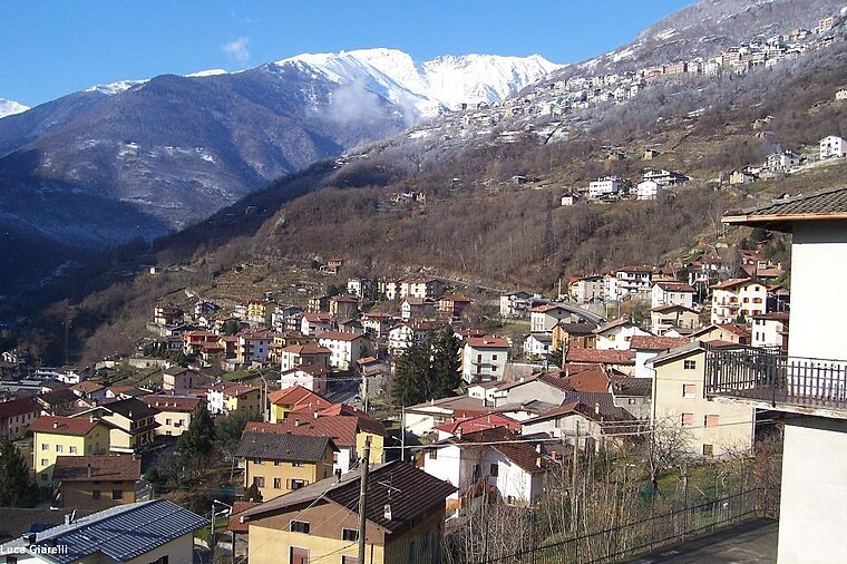
Photo: Wikimedia, CC BY-SA 3.0.
Berzo Demo is an Italian comune in Val Camonica, province of Brescia, in Lombardy, northern Italy.
Malonno
Town hall

Photo: Wikimedia, CC BY-SA 3.0.
Malonno is a town and comune in the province of Brescia, in Lombardy, northern Italy. Neighbouring communes are Berzo Demo, Paisco Loveno and Sonico. It is located on the right bank of the river Oglio, in the Val Camonica. Malonno is situated 3½ km north of Forno d’Allione.

Places in the Area
Nearby places include Paisco and Demo.


Paisco Loveno
Village

Photo: Wikimedia, CC BY-SA 3.0.
Paisco Loveno is a comune in the province of Brescia, in Lombardy, northern Italy.
Forno d’Allione
- Type: Hamlet
- Category: locality
- Location: Malonno, Province of Brescia, Lombardy, Northwest Italy, Italy, Europe
- View on OpenStreetMap
Latitude
46.09077° or 46° 5′ 27″ northLongitude
10.3142° or 10° 18′ 51″ eastOpen location code
8FRG38R7+8MOpenStreetMap ID
node 3740261938OpenStreetMap feature
place=hamlet
This page is based on OpenStreetMap, Wikidata, and Wikimedia Commons.
We’d love your help improving our open data sources. Thank you for contributing.
Satellite Map
Discover Forno d’Allione from above in high-definition satellite imagery.
Places with the Same Name
Discover other places named “Forno d’Allione”.
Localities in the Area
Explore places such as Baita Monte Nebo and Bettolino.
Notable Places Nearby
Highlights include Forno d’Allione railway halt and Chiesa dei Morti di Peste.
Lombardy: Must-Visit Destinations
Delve into Milan, Bergamo, Brescia, and Mantua.
Curious Hamlets to Discover
Uncover intriguing hamlets from every corner of the globe.
About Mapcarta. Data © OpenStreetMap contributors and available under the Open Database License". Text is available under the CC BY-SA 4.0 license, except for photos, directions, and the map. Photo: Lkcl it, CC BY-SA 3.0.