Pioneer Station
Pioneer Station is a taxicab stand in Singapore. Pioneer Station is situated nearby to the food court Kimly Coffeeshop, as well as near Jurong West Primary School.| Tap on a place to explore it |
Places of Interest Nearby
Highlights include Pioneer and Pioneer Mall.
Pioneer
Metro station

Photo: Willis Chong, CC BY-SA 3.0.
Pioneer MRT station is a Mass Rapid Transit station in Singapore. It is part of the East–West Line and serves the residential estate of Pioneer. The station is located along Jurong West Street 63 and provides a convenient mode of transportation for residents and visitors to the area.
Pioneer Mall
Shopping center
Pioneer Mall is a 4-storey neighbourhood shopping centre in Jurong West, Singapore. Housing and Development Board set up a HDB Pioneer Service Centre at the shopping centre. Pioneer Mall is situated 440 metres north of Pioneer Station.
Jurong West Primary School
School
This is a list of primary schools in Singapore. Children typically start their primary education in the year they turn seven. Primary education lasts six years, and is compulsory for all Singapore citizens. Jurong West Primary School is situated 210 metres northeast of Pioneer Station.
Places in the Area
Nearby places include Yunnan and Jurong West.
Yunnan
Quarter
Yunnan is a subzone located in the town of Jurong West in the West Region of Singapore.
Jurong West
Suburb

Photo: Leejiaxin96, CC BY-SA 3.0.
Jurong West is a planning area and residential town located in the West Region of Singapore. It shares boundaries with Tengah in the north, Jurong East in the east, Boon Lay and Pioneer in the south, and Western Water Catchment in the west.
Boon Lay
Quarter
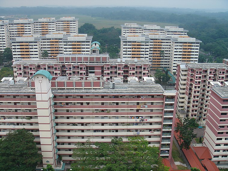
Photo: Mailer diablo, CC BY-SA 3.0.
Boon Lay is a neighbourhood located in the town of Jurong West in the West Region of Singapore. Its borders very roughly correspond to the URA subzone of Boon Lay Place, situated within the Jurong West Planning Area.
Pioneer Station
- Type: Taxicab stand
- Category: transportation
- Location: Singapore, Southeast Asia, Asia
- View on OpenStreetMap
Latitude
1.33777° or 1° 20′ 16″ northLongitude
103.69788° or 103° 41′ 52″ eastOpen location code
6PH58MQX+45OpenStreetMap ID
node 3800198740OpenStreetMap feature
amenity=taxi
This page is based on OpenStreetMap, Wikidata, and Wikimedia Commons.
We’d love your help improving our open data sources. Thank you for contributing.
Satellite Map
Discover Pioneer Station from above in high-definition satellite imagery.
Places with the Same Name
Discover other places named “Pioneer Station”.
Notable Places Nearby
Highlights include Kimly Coffeeshop and Jurong West Sports Complex.
Nearby Places
Explore places such as Drs Koo, Fok & Associates and Pioneer Station Exit A.
Singapore: Must-Visit Destinations
Delve into Singapore Changi Airport, Sentosa and Harbourfront, North and West, and Riverside.
Curious Taxicab Stands to Discover
Uncover intriguing taxicab stands from every corner of the globe.
About Mapcarta. Data © OpenStreetMap contributors and available under the Open Database License". Text is available under the CC BY-SA 4.0 license, except for photos, directions, and the map. Photo: Khairul Nizam, CC BY 2.0.