Vinicola Arza‘
Vinicola Arza‘ is a winery in Arcola, Province of La Spezia, Liguria which is located on Via Aurelia. Vinicola Arza‘ is situated nearby to the railway station Arcola, as well as near the library Biblioteca Comunale.| Tap on a place to explore it |
Places of Interest Nearby
Highlights include Arcola and Arcola Castle.
Arcola
Railway station
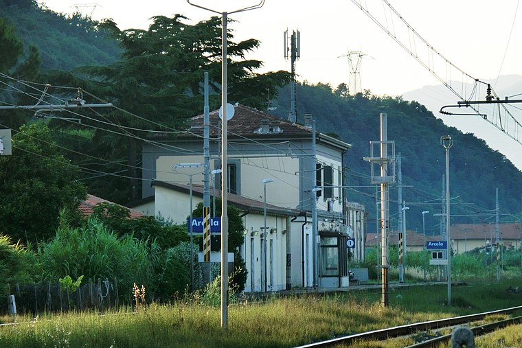
Photo: Ale Sasso, CC BY-SA 3.0.
Arcola is a railway station, which is situated 200 metres southeast of Vinicola Arza‘.
Arcola Castle
Town hall
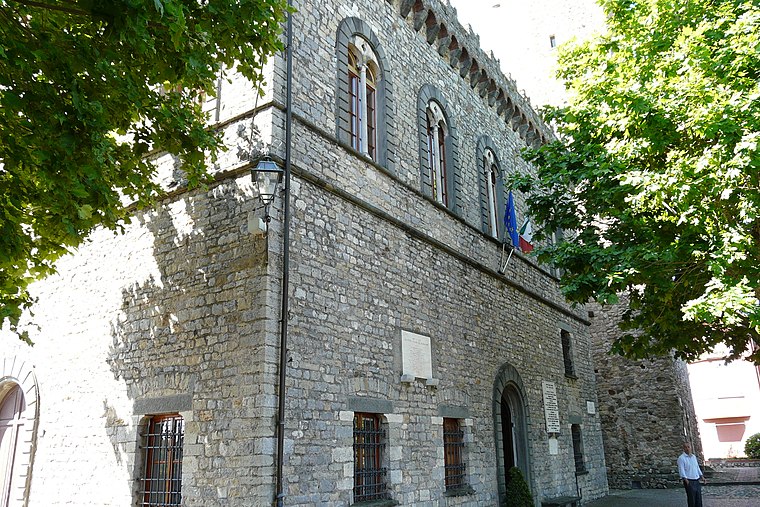
Photo: Wikimedia, CC BY-SA 3.0.
Arcola Castle is a town hall, which is situated 1 km southwest of Vinicola Arza‘.
San Nicolò
Church

Photo: Wikimedia, CC BY-SA 3.0.
San Nicolò is a church, which is situated 1 km southwest of Vinicola Arza‘.
Places in the Area
Nearby places include Baccano and Trebiano.


Cerri
Village

Photo: Tuscanycalling, CC BY-SA 3.0.
Cerri is a village, which is situated 2½ km south of Vinicola Arza‘.
Vinicola Arza‘
- Type: Winery
- Address: Via Aurelia, Arcola (SP), 19021
- Categories: workshop and agriculture
- Location: Arcola, Province of La Spezia, Liguria, Northwest Italy, Italy, Europe
- View on OpenStreetMap
Latitude
44.12006° or 44° 7′ 12″ northLongitude
9.91303° or 9° 54′ 47″ eastOpen location code
8FPF4WC7+26OpenStreetMap ID
node 3814097116OpenStreetMap feature
craft=winery
This page is based on OpenStreetMap, Wikidata, and Wikimedia Commons.
We’d love your help improving our open data sources. Thank you for contributing.
Satellite Map
Discover Vinicola Arza‘ from above in high-definition satellite imagery.
Notable Places Nearby
Highlights include Biblioteca Comunale and San Rocco.
Nearby Places
Explore places such as Magazzino merci and Stazione di Arcola.
Liguria: Must-Visit Destinations
Delve into Genoa, Sanremo, La Spezia, and Savona.
Curious Wineries to Discover
Uncover intriguing wineries from every corner of the globe.
About Mapcarta. Data © OpenStreetMap contributors and available under the Open Database License". Text is available under the CC BY-SA 4.0 license, except for photos, directions, and the map. Photo: Wikimedia, CC BY-SA 3.0.