Pwllglas
Pwllglas is a farm in Geneu’r Glyn, Ceredigion, Wales. Pwllglas is situated nearby to the hamlet Taigwynion, as well as near the forest Coed Dolgau.| Tap on a place to explore it |
Places of Interest Nearby
Highlights include Castell Gwallter and Caer Lletty-llwyd.
Castell Gwallter
Archaeological site

Photo: Bill Boaden, CC BY-SA 2.0.
Castell Gwallter, also known as Walter's Castle and sometimes Castell Penweddig, is the remains of a Norman motte-and-bailey castle situated on a large hill above the old village of Llandre in northern Ceredigion, Wales, four miles northeast of Aberystwyth. Castell Gwallter is situated 1 mile west of Pwllglas.
Caer Lletty-llwyd
Archaeological site
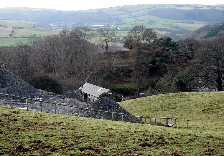
Photo: Chris Denny, CC BY-SA 2.0.
Caer Lletty-llwyd is an archaeological site, which is situated 1¼ miles northeast of Pwllglas.
Rhyd-y-Pennau Inn
Pub

Photo: Peter Glyn, CC BY 3.0.
Rhyd-y-Pennau Inn is a pub, which is situated 4,100 feet southwest of Pwllglas.
Places in the Area
Nearby places include Taigwynion and Dole.
Taigwynion
Hamlet
Taigwynion is a hamlet 1 km ENE of Llandre in Ceredigion, Wales. It has 11 houses and a postcode of its own, SY24 5AG.
Dole
Hamlet

Photo: Nigel Callaghan, CC BY-SA 2.0.
Dole is a small village in the community of Tirymynach, Ceredigion, Wales. Dole is represented in the Senedd by Elin Jones and the Member of Parliament is Ben Lake. It was the home of Baron Elystan Morgan of Aberteifi until his death on 7 July 2021.
Llandre
Village

Photo: Voice of Clam, Public domain.
Llandre, or Llanfihangel Genau'r Glyn, is a village in Ceredigion, Wales. It lies 5 miles north of Aberystwyth in the north-west of the county, on the road from Rhydypennau to Borth.
Pwllglas
- Type: Farm
- Categories: locality and agriculture
- Location: Geneu’r Glyn, Ceredigion, Mid Wales, Wales, United Kingdom, Britain and Ireland, Europe
- View on OpenStreetMap
Latitude
52.46304° or 52° 27′ 47″ northLongitude
-4.00792° or 4° 0′ 29″ westOpen location code
9C4QFX7R+6ROpenStreetMap ID
node 3946100912OpenStreetMap feature
place=farm
This page is based on OpenStreetMap, Wikidata, and Wikimedia Commons.
We’d love your help improving our open data sources. Thank you for contributing.
Satellite Map
Discover Pwllglas from above in high-definition satellite imagery.
Places with the Same Name
Discover other places named “Pwllglas”.
Notable Places Nearby
Highlights include Caer Pwll-Glas and Coed Dolgau.
Nearby Places
Explore places such as Goleufryn and Glennydd.
Ceredigion: Must-Visit Destinations
Delve into Aberystwyth, Cardigan, Aberaeron, and Lampeter.
Curious Farms to Discover
Uncover intriguing farms from every corner of the globe.
About Mapcarta. Data © OpenStreetMap contributors and available under the Open Database License". Text is available under the CC BY-SA 4.0 license, except for photos, directions, and the map. Photo: Traveler100, CC BY-SA 3.0.