via Limehouse Hostel
via Limehouse Hostel is a hostel in Tower Hamlets, Greater London, England which is located on Commercial Road. via Limehouse Hostel is situated nearby to Our Lady Immaculate Catholic Church, as well as near the bridge Limehouse Curve.| Tap on a place to explore it |
- Email: limehouse@viahostels.com
- Type: Hostel
- Address: 628-634 Commercial Road, London, E14 7HS
Places of Interest Nearby
Highlights include Limehouse station and Limehouse Library.
Limehouse station
Railway station
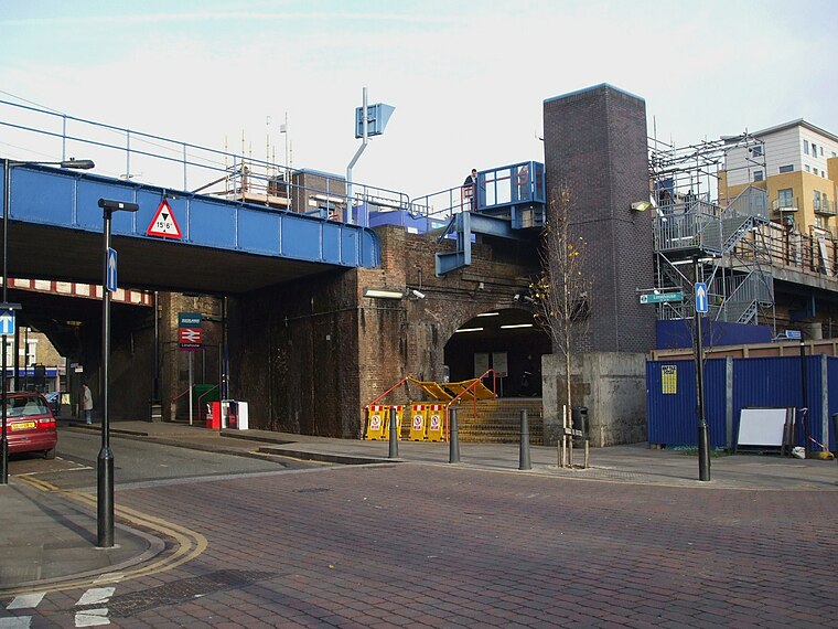
Photo: Sunil060902, CC BY-SA 3.0.
Limehouse is a National Rail and connected Docklands Light Railway station in Limehouse, London, England. It is served by regional services operated by c2c to and from Fenchurch Street and by light metro services provided by the DLR to and from Tower Gateway or Bank. Limehouse station is situated 1,200 feet west of via Limehouse Hostel.
Limehouse Library
Hotel

Photo: Reading Tom, CC BY 2.0.
Limehouse Public Library is a historical building in Limehouse, London, formerly a public library. The library was first proposed for construction in 1888, but the required finances could not be raised until 1900 when John Passmore Edwards was approached for assistance.
Limehouse Basin
Canal

Photo: originalpickaxe, CC BY 3.0.
Limehouse Basin is a body of water two miles east of London Bridge that is also a navigable link between the River Thames and two of London's canals. First dug in 1820 as the eastern terminus of the new Regent's Canal, its wet area was less than five acres… Limehouse Basin is situated 600 feet southwest of via Limehouse Hostel.
Places in the Area
Nearby places include Limehouse and Ratcliff.
Limehouse
Suburb
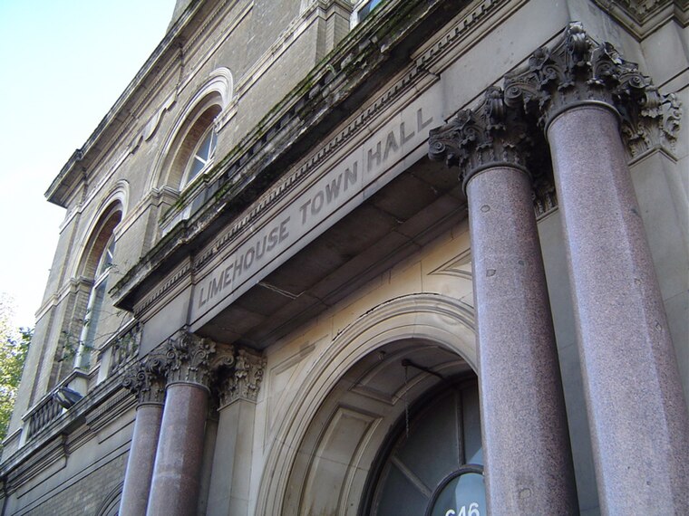
Photo: Wikimedia, CC BY-SA 3.0.
Limehouse is a district in the London Borough of Tower Hamlets in East London. It is 3.9 miles east of Charing Cross, on the northern bank of the River Thames.
Ratcliff
Quarter
Ratcliff or Ratcliffe is a locality in the London Borough of Tower Hamlets. It lies on the north bank of the River Thames between Limehouse, and Shadwell. The place name is no longer commonly used.
Cuckold’s Point
Locality
Cuckold's Point, also Cuckold's Haven, is part of a sharp bend on the River Thames on the Rotherhithe peninsula, south-east London, opposite the West India Docks and to the north of Columbia Wharf.
via Limehouse Hostel
- Categories: tourism, accommodation, and building
- Location: Tower Hamlets, Greater London, England, United Kingdom, Britain and Ireland, Europe
- View on OpenStreetMap
Latitude
51.51226° or 51° 30′ 44″ northLongitude
-0.03422° or 0° 2′ 3″ westOperator
viaOpen location code
9C3XGX68+W8OpenStreetMap ID
node 4197641693OpenStreetMap feature
tourism=hostel
This page is based on OpenStreetMap, Wikidata, and Wikimedia Commons.
We’d love your help improving our open data sources. Thank you for contributing.
Satellite Map
Discover via Limehouse Hostel from above in high-definition satellite imagery.
Notable Places Nearby
Highlights include Our Lady Immaculate Catholic Church and Limehouse Curve.
Nearby Places
Explore places such as Lowell Street and Rose Court.
England: Must-Visit Destinations
Delve into London, Manchester, Sheffield, and Leeds.
Curious Hostels to Discover
Uncover intriguing hostels from every corner of the globe.
About Mapcarta. Data © OpenStreetMap contributors and available under the Open Database License". Text is available under the CC BY-SA 4.0 license, except for photos, directions, and the map. Photo: sidibousaid, CC BY 2.0.