Traiskirchen Stadtpark
Traiskirchen Stadtpark is a bus stop in Traiskirchen, Politischer Bezirk Baden, Lower Austria. Traiskirchen Stadtpark is situated nearby to the town hall Stadtamt Traiskirchen, as well as near the swimming pool Sportbecken.| Tap on a place to explore it |
Places of Interest Nearby
Highlights include Saint Nicholas Church and Franz-Kroller-Sternwarte.
Saint Nicholas Church
Church

Photo: Bwag, CC BY-SA 4.0.
Saint Nicholas Church is situated 190 metres northwest of Traiskirchen Stadtpark.
Franz-Kroller-Sternwarte

Photo: Wikimedia, CC BY-SA 3.0.
Franz-Kroller-Sternwarte is situated 260 metres west of Traiskirchen Stadtpark.
St. Margareta (Traiskirchen)
Church
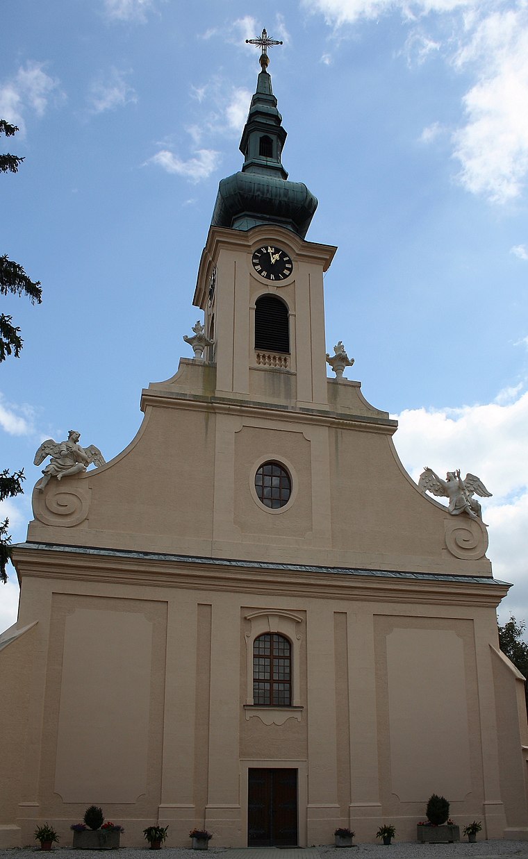
Photo: Bwag, CC BY-SA 3.0.
St. Margareta (Traiskirchen) is a church, which is situated 540 metres north of Traiskirchen Stadtpark.
Places in the Area
Nearby places include Tribuswinkel and Pfaffstätten.
Tribuswinkel
Village

Photo: Bwag, CC BY-SA 4.0.
Tribuswinkel is a town and cadastral community in the district of Baden in Lower Austria in northeast Austria. Since 1972, it is part of the Municipality of Traiskirchen.
Pfaffstätten
Village

Photo: Wikimedia, CC BY-SA 3.0.
Pfaffstätten is a town in the district of Baden in Lower Austria in Austria. Pfaffstätten is situated 2½ km west of Traiskirchen Stadtpark.
Gumpoldskirchen
Village

Photo: Bwag, CC BY-SA 4.0.
Gumpoldskirchen is a town in the district of Mödling in the Austrian state of Lower Austria. Gumpoldskirchen borders on the municipalities Mödling, Guntramsdorf, Gaaden, Pfaffstätten and Traiskirchen. Gumpoldskirchen is situated 4 km north of Traiskirchen Stadtpark.
Traiskirchen Stadtpark
- Type: Bus stop
- Categories: transport stop and transportation
- Location: Traiskirchen, Politischer Bezirk Baden, Lower Austria, Austria, Central Europe, Europe
- View on OpenStreetMap
Latitude
48.01283° or 48° 0′ 46″ northLongitude
16.29725° or 16° 17′ 50″ eastNetwork
Verkehrsverbund Ost-RegionOpen location code
8FWR277W+4VOpenStreetMap ID
node 4252691528OpenStreetMap feature
public_transport=stop_position
This page is based on OpenStreetMap, Wikidata, and Wikimedia Commons.
We’d love your help improving our open data sources. Thank you for contributing.
Satellite Map
Discover Traiskirchen Stadtpark from above in high-definition satellite imagery.
Notable Places Nearby
Highlights include Stadtamt Traiskirchen and Sportbecken.
Nearby Places
Explore places such as Traiskirchen Stadtpark and Krabbelstube Stadtpark.
Lower Austria: Must-Visit Destinations
Delve into St. Pölten, Wiener Neustadt, Amstetten, and Klosterneuburg.
Curious Bus Stops to Discover
Uncover intriguing bus stops from every corner of the globe.
About Mapcarta. Data © OpenStreetMap contributors and available under the Open Database License". Text is available under the CC BY-SA 4.0 license, except for photos, directions, and the map. Photo: Lonezor, CC BY-SA 3.0.