Tiern
Tiern is a wilderness hut in Oslo Municipality, Oslo, Innlandet. Tiern is situated nearby to the public building Vestre krutthus, as well as near Hovedøya Abbey.| Tap on a place to explore it |
Places of Interest Nearby
Highlights include Hovedøya and Oslo Opera House.
Hovedøya
Island

Photo: Toresetre, CC BY-SA 4.0.
Hovedøya is one of several small islands off the coast of Oslo, Norway in the Oslofjord. The island is quite small, no more than 800 metres across in any direction, the total area is 0,4 square kilometre.
Oslo Opera House
Theater building

Photo: Krakers, CC BY-SA 4.0.
The Oslo Opera House is the home of the Norwegian National Opera and Ballet, and the national opera house in Norway. The building is situated in the Bjørvika neighbourhood of central Oslo, at the head of the Oslofjord. Oslo Opera House is situated 1½ km northeast of Tiern.
Munch Museum
Museum
Photo: Annikdance, CC BY-SA 4.0.
Munch Museum, marketed as Munch since 2020, is an art museum in Bjørvika, Oslo, Norway dedicated to the life and works of the Norwegian artist Edvard Munch. Munch Museum is situated 1½ km northeast of Tiern.
Places in the Area
Nearby places include Tjuvholmen and Aker Brygge.
Tjuvholmen
Suburb
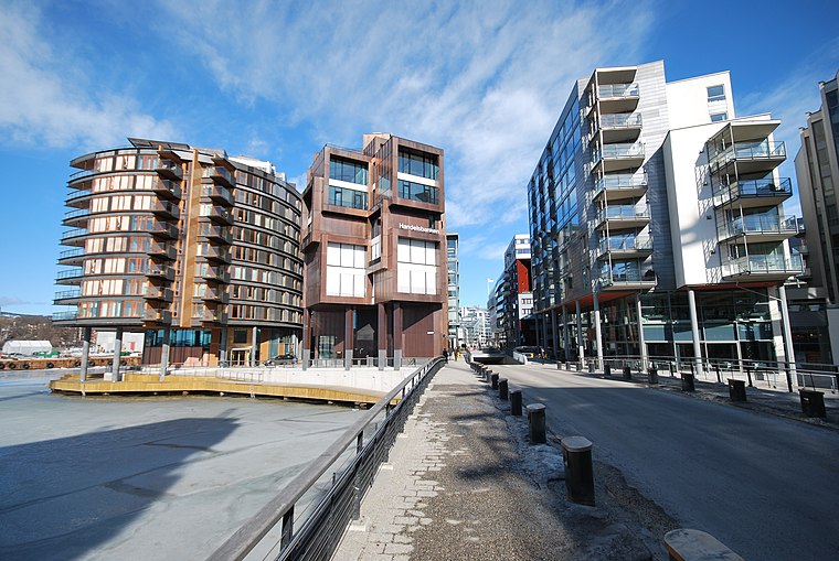
Photo: Helge Høifødt, CC BY-SA 3.0.
Tjuvholmen is a neighborhood in the borough Majorstuen in Oslo, Norway. It is located on a peninsula sticking out from Aker Brygge into the Oslofjord. It is located east of Filipstad and south of Vika.
Aker Brygge
Suburb

Photo: Cnyborg, CC BY-SA 3.0.
Aker Brygge is a neighbourhood in central Oslo, Norway. Since the 1980s and 1990s, it has been a popular area for shopping, dining, and entertainment, as well as a high-end residential area. It was previously an industrial area.
Grønlia
Quarter

Photo: Oslo Museum, CC BY-SA 4.0.
Grønlia is a neighborhood in the Oslo borough of Gamle Oslo. It is located below Ekebergåsen, along the Oslofjord, south of Sørenga and north of Kongshavn.
Tiern
- Type: Wilderness hut
- Categories: tourism, accommodation, and building
- Location: Oslo Municipality, Oslo, Oslo region, East Norway, Alvdal, Innlandet, Norway, Nordic countries, Europe
- View on OpenStreetMap
Latitude
59.89794° or 59° 53′ 53″ northLongitude
10.72953° or 10° 43′ 46″ eastOperator
Oslofjordens FriluftsrådOpen location code
9FFGVPXH+5ROpenStreetMap ID
node 4539046965OpenStreetMap feature
tourism=wilderness_hut
This page is based on OpenStreetMap, Wikidata, and Wikimedia Commons.
We’d love your help improving our open data sources. Thank you for contributing.
Satellite Map
Discover Tiern from above in high-definition satellite imagery.
Places with the Same Name
Discover other places named “Tiern”.
Notable Places Nearby
Highlights include Vestre krutthus and Hovedøya Abbey.
Nearby Places
Explore places such as Lavethuset and Hovedøya.
Oslo: Must-Visit Destinations
Delve into Sentrum, North Oslo, Inner North, and Inner East.
Curious Wilderness Huts to Discover
Uncover intriguing wilderness huts from every corner of the globe.
About Mapcarta. Data © OpenStreetMap contributors and available under the Open Database License". Text is available under the CC BY-SA 4.0 license, except for photos, directions, and the map. Photo: Krakers, CC BY-SA 4.0.