Alpe Celle
Alpe Celle is a locality in Stresa, Verbania, Piedmont. Alpe Celle is situated nearby to the locality Alpe Vallaccia, as well as near Cava di granito.| Tap on a place to explore it |
Places of Interest
Highlights include Mottarone and Oratorio della Madonna della Neve.
Mottarone
Peak

Photo: Idéfix, CC BY-SA 3.0.
Mottarone is a mountain in the Western Alps of Piedmont, north-western Italy, with an elevation of 1,492 metres. It is located between the provinces of Verbano-Cusio-Ossola and Novara.
Oratorio della Madonna della Neve
Church

Photo: Francoerbi, CC BY-SA 4.0.
Oratorio della Madonna della Neve is a church.

Places in the Area
Nearby places include Omegna and Granerolo.
Omegna
Town

Photo: Southgeist, CC BY 3.0.
Omegna is a comune in the Province of Verbano-Cusio-Ossola in the Italian region Piedmont, located about 100 kilometers northeast of Turin and about 13 kilometers southwest of Verbania at the northernmost point of Lago d’Orta and traversed by the Nigoglia, the lake's sole outflow. Omegna is situated 2½ km west of Alpe Celle.
Granerolo
Village

Photo: Francoerbi, CC BY-SA 4.0.
Granerolo is a village, which is situated 3 km northwest of Alpe Celle.
Crusinallo
Village
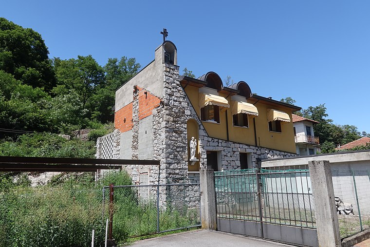
Photo: Francoerbi, CC BY-SA 4.0.
Omegna is a comune in the Province of Verbano-Cusio-Ossola in the Italian region Piedmont, located about 100 kilometers northeast of Turin and about 13 kilometers southwest of Verbania at the northernmost point of Lago d’Orta and traversed by the Nigoglia, the lake's sole outflow. Crusinallo is situated 3 km northwest of Alpe Celle.
Alpe Celle
- Type: Locality
- Location: Stresa, Verbania, Piedmont, Northwest Italy, Italy, Europe
- View on OpenStreetMap
Latitude
45.8768° or 45° 52′ 37″ northLongitude
8.44265° or 8° 26′ 34″ eastOpen location code
8FQCVCGV+P3OpenStreetMap ID
node 4578222972OpenStreetMap feature
place=locality
This page is based on OpenStreetMap, Wikidata, and Wikimedia Commons.
We’d love your help improving our open data sources. Thank you for contributing.
Satellite Map
Discover Alpe Celle from above in high-definition satellite imagery.
Localities in the Area
Explore places such as Alpe Vallaccia and Cava di granito.
Notable Places Nearby
Highlights include Alpe Celle and Cascata.
Piedmont: Must-Visit Destinations
Delve into Turin, Novara, Asti, and Alessandria.
Curious Localities to Discover
Uncover intriguing localities from every corner of the globe.
About Mapcarta. Data © OpenStreetMap contributors and available under the Open Database License". Text is available under the CC BY-SA 4.0 license, except for photos, directions, and the map. Photo: Torsade de Pointes, CC0.