San Rafael
San Rafael is a hospital in Pacho, Cundinamarca. San Rafael is situated nearby to the bus station Flota Rionegro & Gomez Villa, as well as near the town Pacho.| Tap on a place to explore it |
Places in the Area
Nearby places include Pacho.
Pacho
Town
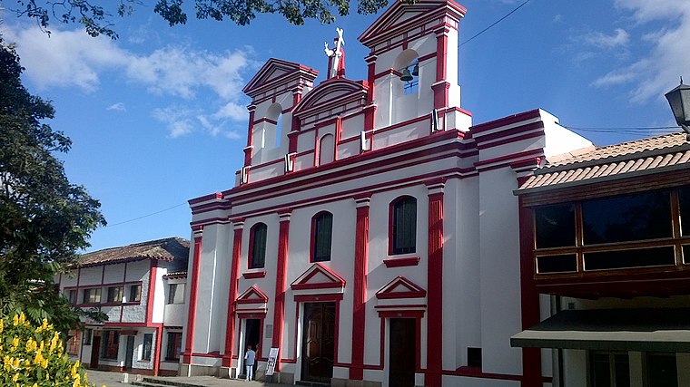 Pacho is a municipality and town of Colombia in the department of Cundinamarca. Pacho is part of the Rionegro Province and the urban centre is situated at a distance of 88 kilometres from the capital Bogotá at an altitude of 2,136 metres, while the altitude ranges from 1,000 metres to 3,700 metres.
San Rafael
- Type: Hospital
- Category: health care
- Location: Pacho, Cundinamarca, Andino, Colombia, South America
- View on OpenStreetMap
Latitude
5.13013° or 5° 7′ 49″ northLongitude
-74.16039° or 74° 9′ 37″ westOpen location code
67Q74RJQ+3ROpenStreetMap ID
node 4580068690OpenStreetMap feature
amenity=hospital
This page is based on OpenStreetMap, Wikidata, and Wikimedia Commons.
We’d love your help improving our open data sources. Thank you for contributing.
Satellite Map
Discover San Rafael from above in high-definition satellite imagery.
In Other Languages
“San Rafael” goes by many names.
- Spanish: “San Rafael”
Places with the Same Name
Discover other places named “San Rafael”.
Notable Places Nearby
Highlights include Hospital San Rafael de Pacho and Flota Rionegro & Gomez Villa.
Nearby Places
Explore places such as Economas and Café de la Place.
Cundinamarca: Must-Visit Destinations
Delve into Zipaquirá, Chía, Funza, and La Calera.
Curious Hospitals to Discover
Uncover intriguing hospitals from every corner of the globe.
About Mapcarta. Data © OpenStreetMap contributors and available under the Open Database License". Text is available under the CC BY-SA 4.0 license, except for photos, directions, and the map. Photo: Wikimedia, CC0.