Monumento bombardamenti 1944
Monumento bombardamenti 1944 is a monument in Canepina, Viterbo, Lazio. Monumento bombardamenti 1944 is situated nearby to the ruins Chiesa di San Giovenale (bombardamento 1944), as well as near the square Piazza 5 Giugno 1944.| Tap on a place to explore it |
Places of Interest Nearby
Highlights include Museo delle tradizioni popolari and San Michele Arcangelo.
Museo delle tradizioni popolari
Museum

Photo: Pere Garcia, CC BY-SA 4.0.
Museo delle tradizioni popolari is a museum, which is situated 360 metres northwest of Monumento bombardamenti 1944.
San Michele Arcangelo
Church

Photo: Albarubescens, CC BY-SA 4.0.
San Michele Arcangelo is a church, which is situated 380 metres northwest of Monumento bombardamenti 1944.
Vallerano railway station
Railway station

Photo: Croberto68, CC BY-SA 3.0.
Vallerano railway station is situated 3 km east of Monumento bombardamenti 1944.
Places in the Area
Nearby places include Vallerano and Vignanello.
Vallerano
Village
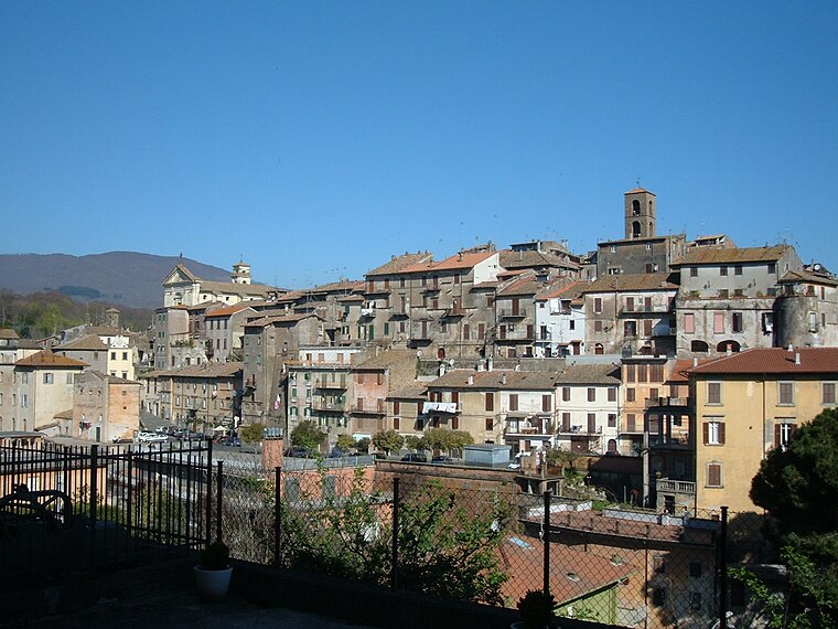
Photo: Croberto68, CC BY-SA 3.0.
Vallerano is a comune in the Province of Viterbo in the Italian region of Latium, located about 60 kilometres northwest of Rome and about 13 kilometres southeast of Viterbo.
Vignanello
Village

Photo: Croberto68, CC BY-SA 3.0.
Vignanello is a comune in the Province of Viterbo in the Italian region of Latium, located about 60 kilometres northwest of Rome and about 14 kilometres southeast of Viterbo. Vignanello is situated 3½ km east of Monumento bombardamenti 1944.
Soriano nel Cimino
Village

Photo: Pippo-b, Public domain.
Soriano nel Cimino is a town and comune in the province of Viterbo, Lazio, central Italy. The town is overlooked by Monte Cimino, the highest peak in the Monti Cimini. Soriano nel Cimino is situated 4½ km north of Monumento bombardamenti 1944.
Monumento bombardamenti 1944
- Type: Monument
- Category: historic site
- Location: Canepina, Viterbo, Lazio, Central Italy, Italy, Europe
- View on OpenStreetMap
Latitude
42.3803° or 42° 22′ 49″ northLongitude
12.23485° or 12° 14′ 6″ eastOpen location code
8FJJ96JM+4WOpenStreetMap ID
node 4600498550OpenStreetMap feature
historic=monument
This page is based on OpenStreetMap, Wikidata, and Wikimedia Commons.
We’d love your help improving our open data sources. Thank you for contributing.
Satellite Map
Discover Monumento bombardamenti 1944 from above in high-definition satellite imagery.
Notable Places Nearby
Highlights include Chiesa di San Giovenale (bombardamento 1944) and Piazza 5 Giugno 1944.
Nearby Places
Explore places such as Generali and Gelateria Il Baretto.
Viterbo: Must-Visit Destinations
Delve into Viterbo, Tarquinia, Montefiascone, and Civita Castellana.
Curious Monuments to Discover
Uncover intriguing monuments from every corner of the globe.
About Mapcarta. Data © OpenStreetMap contributors and available under the Open Database License". Text is available under the CC BY-SA 4.0 license, except for photos, directions, and the map. Photo: Sailko, CC BY-SA 3.0.