Loló Coffee y Snacks
Loló Coffee y Snacks is a restaurant in Usaquen, Bogotá D.C., Bogotá which is located on Avenida Carrera 19. Loló Coffee y Snacks is situated nearby to the hospital Instituto de Ortopedia y Fractura, as well as near the park Parque Nueva Urbanización Santa Barbara.| Tap on a place to explore it |
Places of Interest Nearby
Highlights include Bogotá Colombia Temple and Embassy of Honduras.
Bogotá Colombia Temple
Church
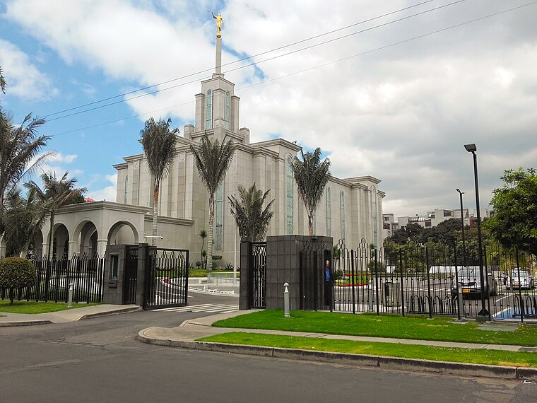
Photo: EEIM, CC BY-SA 4.0.
The Bogotá Colombia Temple is the 57th operating temple of the Church of Jesus Christ of Latter-day Saints. Bogotá Colombia Temple is situated 1¼ km northwest of Loló Coffee y Snacks.
Embassy of Honduras
Government office

Photo: Aquintero82, CC BY-SA 4.0.
Embassy of Honduras is a government office, which is situated 1¼ km east of Loló Coffee y Snacks.
Embassy of China
Government office
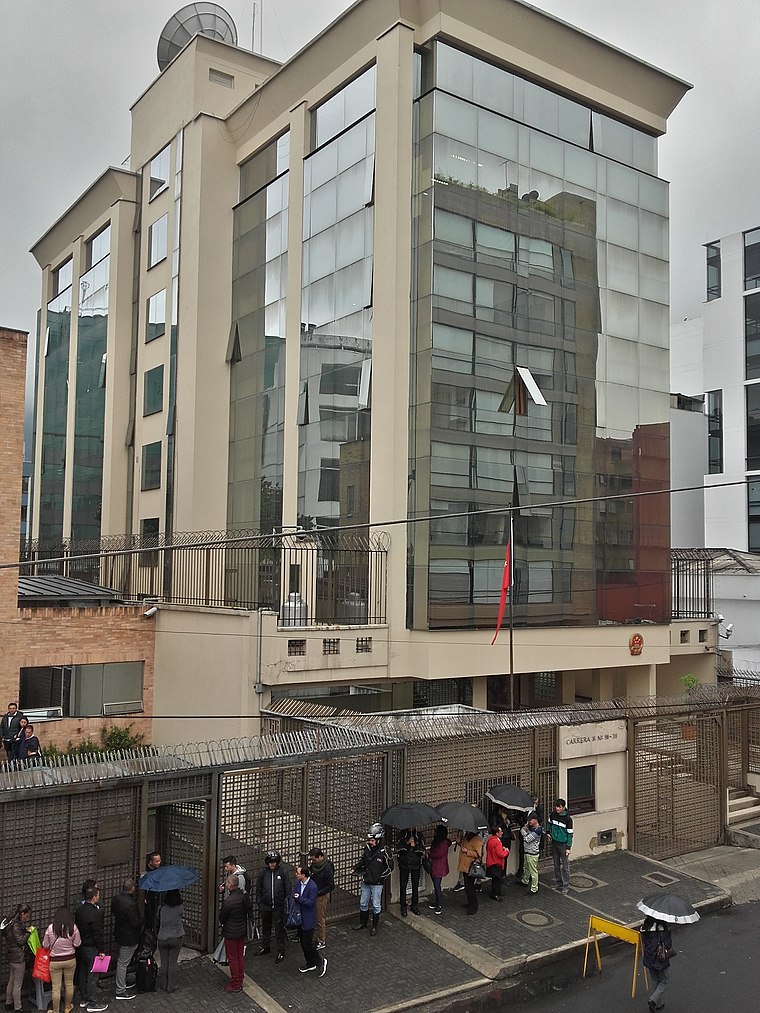
Photo: EEIM, CC BY-SA 3.0.
Embassy of China is a government office, which is situated 1½ km south of Loló Coffee y Snacks.
Places in the Area
Nearby places include Usaquén and La Castellana.
Usaquén

Photo: Pedro Felipe, CC BY-SA 3.0.
Usaquén is one of the largest districts in Bogota with nearly 1 million citizens. Usaquen is where many of the wealthiest and most affluent neighborhoods in the city are located, being the seat to huge high-end shopping malls, luxury boutiques, vast financial…

Zona Rosa

Photo: Elberth Andres, CC BY-SA 3.0.
Zona Rosa, also known as "Zona T" for the T-shaped area at its heart, is one of Bogotá's major shopping and entertainment districts, home to Michelin star restaurants, five-star hotels and resorts, luxury shops and boutiques.
Loló Coffee y Snacks
- Type: Restaurant
- Address: Avenida Carrera 19
- Category: food
- Location: Usaquen, Bogotá D.C., Bogotá, Andino, Colombia, South America
- View on OpenStreetMap
Latitude
4.69925° or 4° 41′ 57″ northLongitude
-74.04962° or 74° 2′ 59″ westOpen location code
67P7MXX2+M5OpenStreetMap ID
node 4699308528OpenStreetMap feature
amenity=restaurant
This page is based on OpenStreetMap, Wikidata, and Wikimedia Commons.
We’d love your help improving our open data sources. Thank you for contributing.
Satellite Map
Discover Loló Coffee y Snacks from above in high-definition satellite imagery.
Notable Places Nearby
Highlights include Instituto de Ortopedia y Fractura and Parque Nueva Urbanización Santa Barbara.
Nearby Places
Explore places such as La Brasa Roja and Animal’s Pet Shop.
Bogotá: Must-Visit Destinations
Delve into La Candelaria, Zona Rosa, Santa Fé-Los Mártires, and Usaquén.
Curious Restaurants to Discover
Uncover intriguing restaurants from every corner of the globe.
About Mapcarta. Data © OpenStreetMap contributors and available under the Open Database License". Text is available under the CC BY-SA 4.0 license, except for photos, directions, and the map. Photo: Wikimedia, CC BY-SA 3.0.