Couche-Tard
Couche-Tard is a gas station in Saint-Jean-sur-Richelieu, Eastern Montérégie, Quebec. Couche-Tard is situated nearby to the park Parc Jean-Louis-Boudreau, as well as near Parc Notre-Dame-de-Lourdes.| Tap on a place to explore it |
Places of Interest Nearby
Highlights include Saint-Jean Airport and Royal Military College Saint-Jean.
Saint-Jean Airport
Aerodrome
This is a list of airports in Quebec. It includes all Nav Canada certified and registered water and land airports, aerodromes and heliports in the Canadian province of Quebec. Airport names in italics are part of the National Airports System.
Royal Military College Saint-Jean
College

Photo: Jpguillet, CC BY-SA 3.0.
The Royal Military College Saint-Jean, commonly referred to as RMC Saint-Jean and CMR, is a Canadian military college and university. It is located on the historical site of Fort Saint-Jean, in Saint-Jean-sur-Richelieu, Quebec, 40 km south of Montreal. Royal Military College Saint-Jean is situated 3½ km east of Couche-Tard.
Musée du Haut-Richelieu
Museum
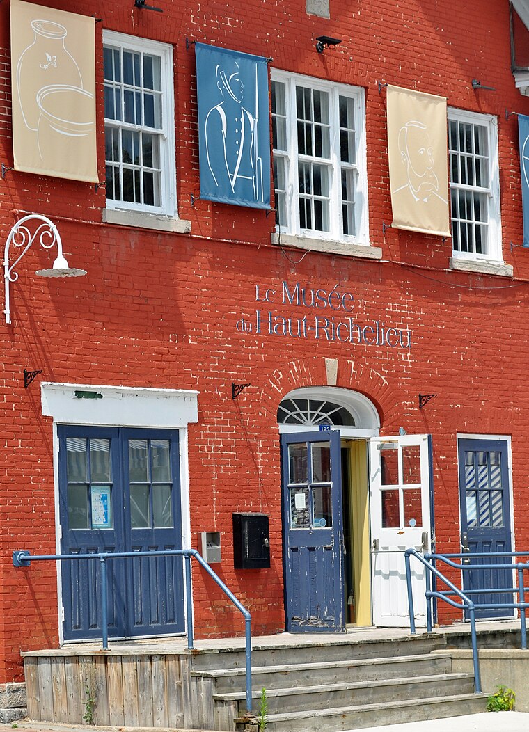
Photo: Yource, CC BY-SA 4.0.
Musée du Haut-Richelieu is a museum, which is situated 3 km east of Couche-Tard.
Places in the Area
Nearby places include L’Acadie.
L’Acadie
Suburb
L'Acadie is a former municipality in the Montérégie region of Quebec, Canada, on the west side of the Richelieu River, across from Saint-Jean-sur-Richelieu, Quebec. L’Acadie is situated 4 km west of Couche-Tard.
Couche-Tard
- Type: Gas station
- Category: transportation
- Location: Saint-Jean-sur-Richelieu, Eastern Montérégie, Montérégie, Southwestern Quebec, Quebec, Canada, North America
- View on OpenStreetMap
Latitude
45.30582° or 45° 18′ 21″ northLongitude
-73.29223° or 73° 17′ 32″ westOpen location code
87Q88P45+84OpenStreetMap ID
node 4990524878OpenStreetMap feature
amenity=fuel
This page is based on OpenStreetMap, Wikidata, and Wikimedia Commons.
We’d love your help improving our open data sources. Thank you for contributing.
Satellite Map
Discover Couche-Tard from above in high-definition satellite imagery.
Places with the Same Name
Discover other places named “Couche-Tard”.
Notable Places Nearby
Highlights include Parc Jean-Louis-Boudreau and Parc Notre-Dame-de-Lourdes.
Nearby Places
Explore places such as Couche-Tard and École Notre-Dame-de-Lourdes.
Montérégie: Must-Visit Destinations
Delve into Longueuil, Brossard, Saint-Hyacinthe, and Mont-Saint-Hilaire.
Curious Gas Stations to Discover
Uncover intriguing gas stations from every corner of the globe.
About Mapcarta. Data © OpenStreetMap contributors and available under the Open Database License". Text is available under the CC BY-SA 4.0 license, except for photos, directions, and the map. Photo: Karyane, CC BY-SA 3.0.