Sanayi
Sanayi is a suburb in Pendik, Istanbul. Sanayi is situated nearby to the suburb Kurtköy, as well as near Şeyhli.| Tap on a place to explore it |
Places of Interest
Highlights include Sabiha Gökçen International Airport and Kurtköy.
Sabiha Gökçen International Airport

Photo: Kayhan ERTUGRUL, CC BY-SA 3.0.
Sabiha Gökçen International Airport is one of the two international airports serving Istanbul, Turkey's largest city. It is 35 km southeast of Istanbul center, on the Asian side of the city.
Kurtköy
Metro station
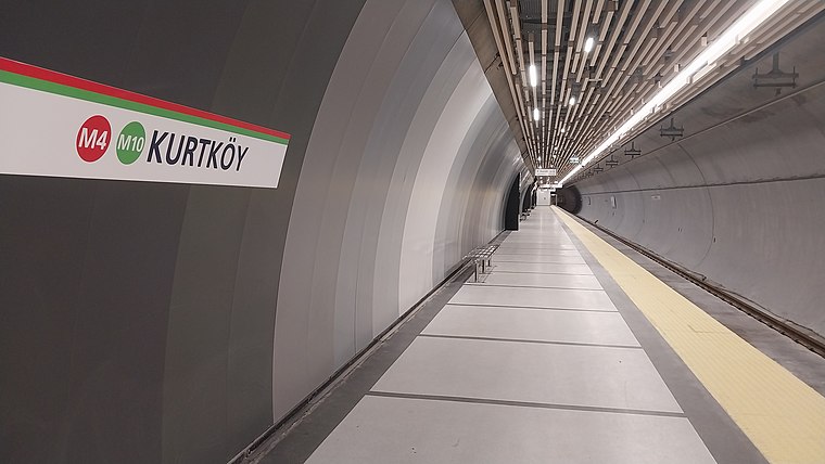
Photo: Alikam1896, CC BY-SA 4.0.
Kurtköy is an underground rapid transit station on the M4 line of the Istanbul Metro. It is located on Ankara Street in the Kurtköy neighborhood of Pendik. It was opened on 2 October 2022 with the extension of M4 line from Tavşantepe to Sabiha Gökçen Airport.

Places in the Area
Nearby places include Pendik and Yakacık Çarşı.
Pendik
Town

Photo: FurkanYalcin3, CC BY-SA 3.0.
Pendik is a municipality and district of Istanbul Province, Turkey. Its area is 190 km2, and its population is 750,435. It is on the Asian side between Kartal and Tuzla, on the Marmara Sea. Pendik is situated 6 km southwest of Sanayi.
Yakacık Çarşı
Quarter
Yakacık Çarşı is a neighbourhood in the municipality and district of Kartal, Istanbul Province, Turkey. As of 2022, its population is 17,825. Yakacık Çarşı is situated 6 km west of Sanayi.
Tepeören
Suburb

Photo: MiracBas, CC BY-SA 4.0.
Tepeören is a suburb, which is situated 8 km east of Sanayi.
Sanayi
- Type: Suburb
- Category: locality
- Location: Pendik, Istanbul, Turkey, Middle East, Asia
- View on OpenStreetMap
Latitude
40.90557° or 40° 54′ 20″ northLongitude
29.29916° or 29° 17′ 57″ eastOpen location code
8GGFW74X+6MOpenStreetMap ID
node 4997201141OpenStreetMap feature
place=suburb
This page is based on OpenStreetMap, Wikidata, and Wikimedia Commons.
We’d love your help improving our open data sources. Thank you for contributing.
Satellite Map
Discover Sanayi from above in high-definition satellite imagery.
In Other Languages
“Sanayi” goes by many names.
- Arabic: “سانايي”
Places with the Same Name
Discover other places named “Sanayi”.
Localities in the Area
Explore places such as Kurtköy and Şeyhli.
Notable Places Nearby
Highlights include Prof.Dr.Ahmet Hamdi Turgut Camii and Şehit Turan Kutlu Parkı.
Turkey: Must-Visit Destinations
Delve into Istanbul, Edirne, Ankara, and Izmir.
Curious Suburbs to Discover
Uncover intriguing suburbs from every corner of the globe.
About Mapcarta. Data © OpenStreetMap contributors and available under the Open Database License". Text is available under the CC BY-SA 4.0 license, except for photos, directions, and the map. Photo: Moonik, CC BY-SA 3.0.