Karafatma Anıtı
Karafatma Anıtı is a memorial in Nilüfer, Bursa Province. Karafatma Anıtı is situated nearby to the pitch ESAS Beşevler Spor Tesisi, as well as near the mosque Konak Cami.| Tap on a place to explore it |
Places of Interest Nearby
Highlights include Bursa Anatolian High School.
Bursa Anatolian High School
School
Bursa Anatolian High School, is a public boarding secondary school in Bursa, Turkey. BAL is one of the most prominent high schools in the West Anatolian area. Bursa Anatolian High School is situated 4 km east of Karafatma Anıtı.
Places in the Area
Nearby places include Nilufer and Demirci.
Nilufer
Town
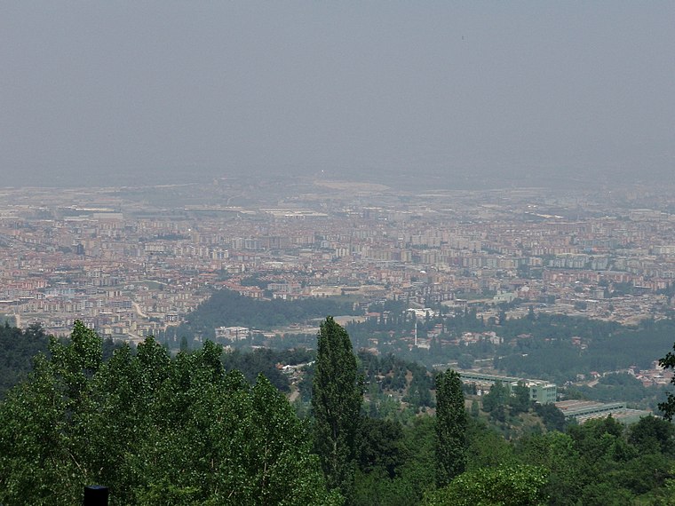
Photo: Wikimedia, CC BY-SA 3.0.
Nilüfer is a municipality and district of Bursa Province, Turkey. Its area is 552 km2, and its population is 536,365. Established in 1987, it is one of the seventeen districts of Bursa Province.
Demirci
Village
Demirci is a neighbourhood in the municipality and district of Nilüfer, Bursa Province in Turkey. Its population is 14,824. Demirci is situated 4½ km southwest of Karafatma Anıtı.
Gökçeören
Village
Gökçeören is a neighbourhood in the municipality and district of Osmangazi, Bursa Province in Turkey. Its population is 236. Gökçeören is situated 7 km south of Karafatma Anıtı.
Karafatma Anıtı
- Type: Memorial
- Category: historic site
- Location: Nilüfer, Bursa Province, Turkey, Middle East, Asia
- View on OpenStreetMap
Latitude
40.20746° or 40° 12′ 27″ northLongitude
28.97327° or 28° 58′ 24″ eastOpen location code
8GGC6X4F+X8OpenStreetMap ID
node 5052326621OpenStreetMap feature
historic=memorial
This page is based on OpenStreetMap, Wikidata, and Wikimedia Commons.
We’d love your help improving our open data sources. Thank you for contributing.
Satellite Map
Discover Karafatma Anıtı from above in high-definition satellite imagery.
Notable Places Nearby
Highlights include ESAS Beşevler Spor Tesisi and Konak Cami.
Nearby Places
Explore places such as Burfaş Beşevler Sosyal Tesisleri and Halil İnalcık Bilim ve Sanat Merkezi.
Turkey: Must-Visit Destinations
Delve into Istanbul, Edirne, Ankara, and Izmir.
Curious Memorials to Discover
Uncover intriguing memorials from every corner of the globe.
About Mapcarta. Data © OpenStreetMap contributors and available under the Open Database License". Text is available under the CC BY-SA 4.0 license, except for photos, directions, and the map. Photo: Haluk CÖMERTEL, CC BY 3.0.