Sult Lille Herbern
Sult Lille Herbern is a restaurant in Oslo Municipality, Oslo, Innlandet. Sult Lille Herbern is situated nearby to the nature reserve Store Herbern, as well as near the islet Skurven.| Tap on a place to explore it |
Places of Interest Nearby
Highlights include Lille Herbern and Kon-Tiki Museum.

Kon-Tiki Museum
Museum

Photo: Grzegorz Wysocki, CC BY 3.0.
The Kon-Tiki Museum is a museum in the Bygdøy peninsula in Oslo, Norway. It houses vessels and maps from the Kon-Tiki expedition, as well as a library with about 8,000 books. Kon-Tiki Museum is situated 600 metres northeast of Sult Lille Herbern.
Fram Museum
Museum

Photo: Pudelek, CC BY-SA 4.0.
The Fram Museum is a museum telling the story of Norwegian polar exploration. It is located on the peninsula of Bygdøy in Oslo, Norway. Fram Museum is in an area with several other museums including the Kon-Tiki Museum, the Norwegian Museum of Cultural History, the Viking Ship Museum and the Norwegian Maritime Museum. Fram Museum is situated 620 metres northeast of Sult Lille Herbern.
Places in the Area
Nearby places include Trøndelag, Norsk Folkemuseum and Skillebekk.
Trøndelag, Norsk Folkemuseum
Locality

Photo: Bjoertvedt, CC BY-SA 4.0.
Trøndelag, Norsk Folkemuseum is a locality.
Skillebekk
Suburb

Photo: Vinguru, CC BY-SA 4.0.
Skillebekk is a neighbourhood of Oslo, Norway. It is located near Solli plass in the West End of Oslo, and is served by the station Skillebekk on the Skøyen Line. The name originates from Skillebekken, a brook between Bymarken and Frogner Hovedgård.
Tjuvholmen
Suburb
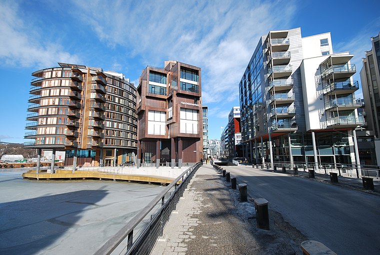
Photo: Helge Høifødt, CC BY-SA 3.0.
Tjuvholmen is a neighborhood in the borough Majorstuen in Oslo, Norway. It is located on a peninsula sticking out from Aker Brygge into the Oslofjord. It is located east of Filipstad and south of Vika.
Sult Lille Herbern
- Type: Restaurant
- Category: food
- Location: Oslo Municipality, Oslo, Oslo region, East Norway, Alvdal, Innlandet, Norway, Nordic countries, Europe
- View on OpenStreetMap
Latitude
59.8986° or 59° 53′ 55″ northLongitude
10.69359° or 10° 41′ 37″ eastOpen location code
9FFGVMXV+CCOpenStreetMap ID
node 5055674714OpenStreetMap feature
amenity=restaurant
This page is based on OpenStreetMap, Wikidata, and Wikimedia Commons.
We’d love your help improving our open data sources. Thank you for contributing.
Satellite Map
Discover Sult Lille Herbern from above in high-definition satellite imagery.
Notable Places Nearby
Highlights include Herbern and Store Herbern.
Nearby Places
Explore places such as Lille Herbern and Herbernveien.
Oslo: Must-Visit Destinations
Delve into Sentrum, North Oslo, Inner North, and Inner East.
Curious Restaurants to Discover
Uncover intriguing restaurants from every corner of the globe.
About Mapcarta. Data © OpenStreetMap contributors and available under the Open Database License". Text is available under the CC BY-SA 4.0 license, except for photos, directions, and the map. Photo: Krakers, CC BY-SA 4.0.