Am Beynert
Am Beynert is a locality in Luxembourg, Wallonia. Am Beynert is situated nearby to the village Metzert, as well as near Lischert.| Tap on a place to explore it |
Places of Interest
Highlights include Stockem railway station and Viville railway station.
Stockem railway station
Railway station

Photo: Les Meloures, CC BY-SA 4.0.
Stockem railway station is situated 3½ km south of Am Beynert.
Viville railway station
Railway stop
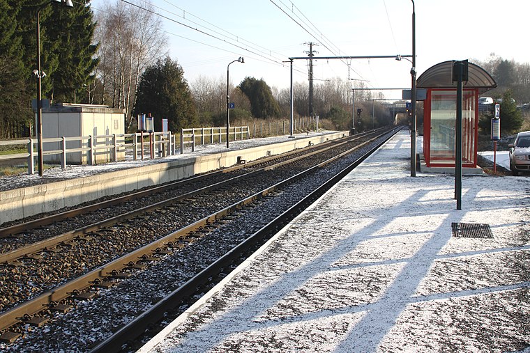
Photo: Wikimedia, CC BY-SA 4.0.
Viville railway station is a railway stop, which is situated 3½ km south of Am Beynert.
Luxeroth
Dwelling

Photo: Bernard Piette, Public domain.
Luxeroth is a dwelling, which is situated 2½ km northwest of Am Beynert.
Places in the Area
Nearby places include Tontelange and Heinsch.
Tontelange
Village

Photo: Jean-Pol GRANDMONT, CC BY 2.5.
Tontelange is a village of Wallonia and a district of the municipality of Attert, located in the province of Luxembourg, Belgium. The village is mentioned in written sources in 968 as "Dotlinga". Tontelange is situated 2½ km east of Am Beynert.
Heinsch
Village
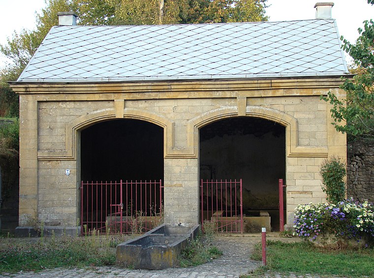
Photo: Muller claire, CC BY-SA 3.0.
Heinsch is a sub-municipality of the city of Arlon located in the province of Luxembourg, Wallonia, Belgium. It was a separate municipality until 1977. On 1 January 1977, it was merged into Arlon. Heinsch is situated 3 km southwest of Am Beynert.
Bonnert
Village

Photo: Les Meloures, CC BY-SA 4.0.
Bonnert is a sub-municipality of the city of Arlon located in the province of Luxembourg, Wallonia, Belgium. It was a separate municipality until 1977. On 1 January 1977, it was merged into Arlon. Bonnert is situated 3½ km east of Am Beynert.
Am Beynert
- Type: Locality
- Location: Luxembourg, Wallonia, Belgium, Benelux, Europe
- View on OpenStreetMap
Latitude
49.71971° or 49° 43′ 11″ northLongitude
5.77596° or 5° 46′ 33″ eastOpen location code
8FX7PQ9G+V9OpenStreetMap ID
node 5077579863OpenStreetMap feature
place=locality
This page is based on OpenStreetMap, Wikidata, and Wikimedia Commons.
We’d love your help improving our open data sources. Thank you for contributing.
Satellite Map
Discover Am Beynert from above in high-definition satellite imagery.
Localities in the Area
Explore places such as Metzert and Lischert.
Notable Places Nearby
Highlights include Église Saints-Cosme et Damien and Cimetière de Metzert.
Luxembourg: Must-Visit Destinations
Delve into Arlon, Bastogne, Bouillon, and La Roche-en-Ardenne.
Curious Localities to Discover
Uncover intriguing localities from every corner of the globe.
About Mapcarta. Data © OpenStreetMap contributors and available under the Open Database License". Text is available under the CC BY-SA 4.0 license, except for photos, directions, and the map. Photo: Les Meloures, CC BY-SA 3.0.