Komberry Scroll
Komberry Scroll is an ice cream parlor in Queensland, Australia. Komberry Scroll is situated nearby to Kombi Alley, as well as near the theater building OpenSky Theatre.| Tap on a place to explore it |
Places of Interest Nearby
Highlights include Doomben railway station and Balmoral State High School.
Doomben railway station
Railway station

Photo: TravellerQLD, CC BY-SA 3.0.
Doomben railway station is the terminal station of the Doomben line in Queensland, Australia. It serves the Brisbane suburb of Ascot adjacent to Doomben Racecourse. Doomben railway station is situated 1½ km north of Komberry Scroll.
Balmoral State High School
School
Balmoral State High School is a secondary school in Balmoral, Queensland, Australia. The school opened in February 1958. The school has an enrolment of 950 students and is a part of the Gateway Learning Community. Balmoral State High School is situated 1½ km southwest of Komberry Scroll.
Bulimba State School
School

Photo: Shiftchange, CC0.
Bulimba State School is a heritage-listed state school at 261 Oxford Street, Bulimba, Queensland, Australia. It was built from 1915 to 1955. It was added to the Queensland Heritage Register on 26 November 1999. Bulimba State School is situated 2 km southwest of Komberry Scroll.
Places in the Area
Nearby places include Hawthorne and Albion.
Hawthorne
Suburb
Hawthorne is a suburb of the City of Brisbane, Queensland, Australia. In the 2021 census, Hawthorne had a population of 5,090 people. Hawthorne is situated 3 km southwest of Komberry Scroll.
Albion
Suburb
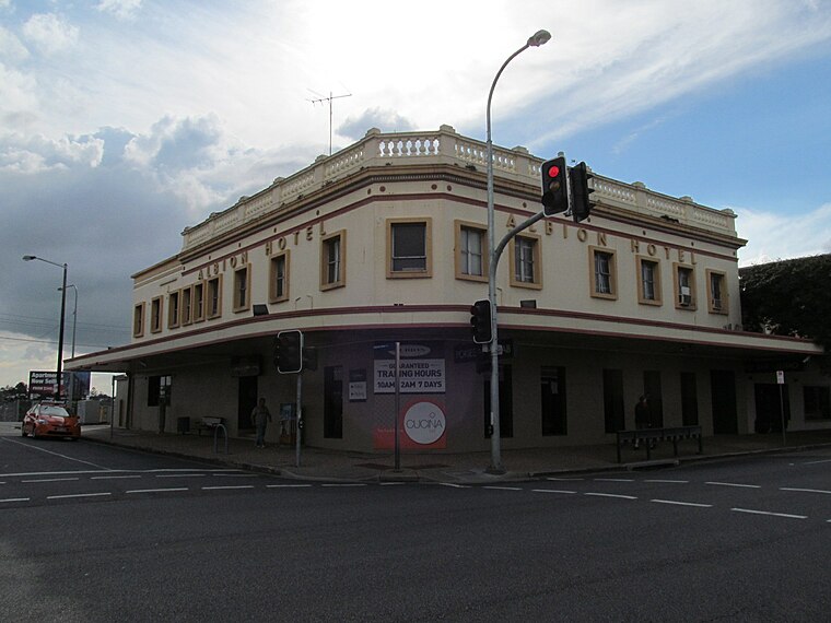
Photo: Orderinchaos, CC BY-SA 3.0.
Albion is an inner north-eastern suburb in the City of Brisbane, Queensland, Australia. In the 2021 census, Albion had a population of 3,446 people. Albion is situated 4 km west of Komberry Scroll.
Norman Park
Suburb

Photo: Shiftchange, CC0.
Norman Park is a suburb in the City of Brisbane, Queensland, Australia. In the 2021 census, Norman Park had a population of 6,842 people. Norman Park is situated 4½ km south of Komberry Scroll.
Komberry Scroll
- Type: Ice cream parlor
- Category: food
- Location: Queensland, Australia, Oceania
- View on OpenStreetMap
Latitude
-27.44424° or 27° 26′ 39″ southLongitude
153.08057° or 153° 4′ 50″ eastOpen location code
5R4MH34J+86OpenStreetMap ID
node 5139069972OpenStreetMap feature
amenity=ice_cream
This page is based on OpenStreetMap, Wikidata, and Wikimedia Commons.
We’d love your help improving our open data sources. Thank you for contributing.
Satellite Map
Discover Komberry Scroll from above in high-definition satellite imagery.
Notable Places Nearby
Highlights include Kombi Alley and OpenSky Theatre.
Nearby Places
Explore places such as Milky Buns and The Chocolate Komberry.
Queensland: Must-Visit Destinations
Delve into Brisbane, Gold Coast, Sunshine Coast, and Cairns.
Curious Ice Cream Parlors to Discover
Uncover intriguing ice cream parlors from every corner of the globe.
About Mapcarta. Data © OpenStreetMap contributors and available under the Open Database License". Text is available under the CC BY-SA 4.0 license, except for photos, directions, and the map. Photo: Wikimedia, CC0.