Paperlería y Waoo
Paperlería y Waoo is a toy store in Barrios Unidos, Bogotá D.C., Bogotá which is located on Calle 93A. Paperlería y Waoo is situated nearby to the art gallery In Colors, as well as near Valzac Arte.| Tap on a place to explore it |
Places of Interest Nearby
Highlights include Embassy of Brazil and Carrera 53.
Embassy of Brazil
Government office

Photo: Aquintero82, CC BY-SA 4.0.
Embassy of Brazil is a government office, which is situated 1½ km east of Paperlería y Waoo.
Carrera 53
Bus station

Photo: Pedro Felipe, CC BY-SA 3.0.
The simple station Carrera 53 is part of the TransMilenio mass-transit system of Bogotá, Colombia, opened in the year 2000. Carrera 53 is situated 1¼ km west of Paperlería y Waoo.
Embassy of China
Government office
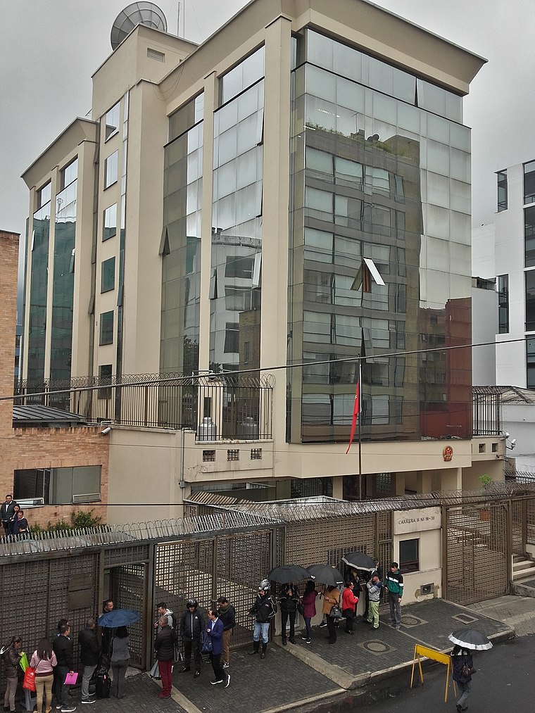
Photo: EEIM, CC BY-SA 3.0.
Embassy of China is a government office, which is situated 2 km east of Paperlería y Waoo.
Places in the Area
Nearby places include La Castellana and Barrios Unidos.

Barrios Unidos
Suburb

Photo: Pedro Felipe, CC BY-SA 3.0.
Barrios Unidos is the 12th locality of Bogotá, capital of Colombia. It is located to the northwest of the city, and is mostly inhabited by middle class residents. Barrios Unidos is completely urban, with some light industry and major commercial areas.
Zona Rosa

Photo: Elberth Andres, CC BY-SA 3.0.
Zona Rosa, also known as "Zona T" for the T-shaped area at its heart, is one of Bogotá's major shopping and entertainment districts, home to Michelin star restaurants, five-star hotels and resorts, luxury shops and boutiques.
Paperlería y Waoo
- Type: Toy store
- Address: 58-41 Calle 93A
- Category: shop
- Location: Barrios Unidos, Bogotá D.C., Bogotá, Andino, Colombia, South America
- View on OpenStreetMap
Latitude
4.68201° or 4° 40′ 55″ northLongitude
-74.0658° or 74° 3′ 57″ westOpen location code
67P7MWJM+RMOpenStreetMap ID
node 5159400709OpenStreetMap feature
shop=toys
This page is based on OpenStreetMap, Wikidata, and Wikimedia Commons.
We’d love your help improving our open data sources. Thank you for contributing.
Satellite Map
Discover Paperlería y Waoo from above in high-definition satellite imagery.
Notable Places Nearby
Highlights include In Colors and Valzac Arte.
Nearby Places
Explore places such as Arreglos and La Tienda del Futbol.
Bogotá: Must-Visit Destinations
Delve into La Candelaria, Zona Rosa, Santa Fé-Los Mártires, and Usaquén.
Curious Toy Stores to Discover
Uncover intriguing toy stores from every corner of the globe.
About Mapcarta. Data © OpenStreetMap contributors and available under the Open Database License". Text is available under the CC BY-SA 4.0 license, except for photos, directions, and the map. Photo: Wikimedia, CC BY-SA 3.0.