Tharston Village Sign
Tharston Village Sign is a work of art in Tharston and Hapton, South Norfolk District, England. Tharston Village Sign is situated nearby to Church of St Mary, as well as near the house Tharston Hall.| Tap on a place to explore it |
Places of Interest Nearby
Highlights include Church of St Mary and Tharston Hall.
Church of St Mary
Church

Photo: Ian Robertson, CC BY-SA 2.0.
Church of St Mary is situated 930 feet southeast of Tharston Village Sign.
Tharston Hall
House

Photo: Geoff Pick, CC BY-SA 2.0.
Tharston Hall is a house, which is situated 1,800 feet southeast of Tharston Village Sign.
Church of St Michael
Church

Photo: John Salmon, CC BY-SA 2.0.
Church of St Michael is situated 1¼ miles southeast of Tharston Village Sign.
Places in the Area
Nearby places include Long Stratton and Tasburgh.
Long Stratton
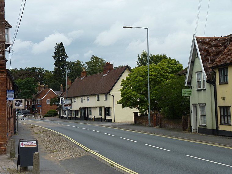
Photo: James Allan, CC BY-SA 2.0.
Long Stratton is a small working town in Norfolk catering mainly for the local population. It is 12 miles south of Norwich. The surrounding countryside is ideal for exploring on foot or by bicycle, with quiet rural country lanes without many hills.
Tasburgh
Village

Photo: John Salmon, CC BY-SA 2.0.
Tasburgh is a civil parish and a village in the south of Norfolk, England, located approximately 8 miles south of Norwich. It lies on the A140 road, north of Long Stratton and south of Newton Flotman.
Hapton
Village

Photo: Evelyn Simak, CC BY-SA 2.0.
Hapton is a village and former civil parish, now in the parish of Tharston and Hapton, in the English county of Norfolk. Hapton is located 4.9 miles south-east of Wymondham and 7.8 miles south-west of Norwich. Hapton is situated 1½ miles northwest of Tharston Village Sign.
Tharston Village Sign
- Type: Work of art
- Category: tourism
- Location: Tharston and Hapton, South Norfolk District, Norfolk, East of England, England, United Kingdom, Britain and Ireland, Europe
- View on OpenStreetMap
Latitude
52.50438° or 52° 30′ 16″ northLongitude
1.2232° or 1° 13′ 24″ eastOpen location code
9F43G63F+Q7OpenStreetMap ID
node 5367841231OpenStreetMap feature
man_made=village_signOpenStreetMap feature
tourism=artwork
This page is based on OpenStreetMap, Wikidata, and Wikimedia Commons.
We’d love your help improving our open data sources. Thank you for contributing.
Satellite Map
Discover Tharston Village Sign from above in high-definition satellite imagery.
Notable Places Nearby
Highlights include Hall Farm Park and Furze Hill.
Nearby Places
Explore places such as Picton Farms and Swan Lane Surgery.
Norfolk: Must-Visit Destinations
Delve into Norwich, King’s Lynn, Great Yarmouth, and Norfolk Broads.
Curious Work Of Arts to Discover
Uncover intriguing work of arts from every corner of the globe.
About Mapcarta. Data © OpenStreetMap contributors and available under the Open Database License". Text is available under the CC BY-SA 4.0 license, except for photos, directions, and the map. Photo: matthewhartley369, CC BY-SA 2.0.