Head Dyke Lane
Head Dyke Lane is a bus stop in Pilling, Wyre District, England. Head Dyke Lane is situated nearby to the motorhome stopover Midwood Caravan Park, as well as near the town Thornton.| Tap on a place to explore it |
Places of Interest Nearby
Highlights include Saint Aidan’s Church of England High School and St John the Baptist’s Church, Pilling.
Saint Aidan’s Church of England High School
School
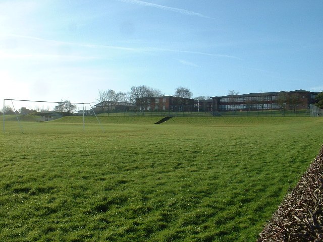
Photo: David Medcalf, CC BY-SA 2.0.
Saint Aidan's Church of England High School is a Church of England voluntary aided school located in Preesall, England. In an Ofsted report in 2013, the school was rated Grade 2 overall and Grade 1 for Behaviour and Safety. Saint Aidan’s Church of England High School is situated 1 mile west of Head Dyke Lane.
St John the Baptist’s Church, Pilling
Church

Photo: Wikimedia, CC BY-SA 2.0.
St John the Baptist's Church is in the village of Pilling, Lancashire, England. It is an active Anglican parish church in the deanery of Garstang, the archdeaconry of Lancaster and the diocese of Blackburn. St John the Baptist’s Church, Pilling is situated 1½ miles northeast of Head Dyke Lane.
St Oswald’s Church, Preesall
Church

Photo: Tom Richardson, CC BY-SA 2.0.
St Oswald's Church is an Anglican church in Preesall, a town on the Fylde coastal plain in Lancashire, England. It is an active parish church in the diocese of Blackburn and the archdeaconry of Lancaster. St Oswald’s Church, Preesall is situated 1½ miles northwest of Head Dyke Lane.
Places in the Area
Nearby places include Fleetwood and Thornton.
Fleetwood

Photo: purpleseadonkey, CC BY 2.0.
Fleetwood is a seaside resort and fishing town, in Lancashire, in the North West of England. Fleetwood is surrounded on 3 sides by water--the Irish Sea to the north and west and the River Wyre to the east.
Thornton
Town
Thornton is a village in the Borough of Wyre in Lancashire, England. It is about 4 miles north of Blackpool and 2 miles south of Fleetwood. The civil parish of Thornton became an urban district in 1900, and was renamed Thornton-Cleveleys in 1927. Thornton is situated 4 miles southwest of Head Dyke Lane.
Anchorsholme
Suburb

Photo: Trevor Hilton, CC BY-SA 2.0.
Anchorsholme is a suburban area of Blackpool and the name of a ward in the Borough of Blackpool in Lancashire, England. It lies close to the town of Cleveleys. Anchorsholme is situated 5 miles southwest of Head Dyke Lane.
Head Dyke Lane
- Type: Bus stop
- Categories: transport stop and transportation
- Location: Pilling, Wyre District, Lancashire, North West England, England, United Kingdom, Britain and Ireland, Europe
- View on OpenStreetMap
Latitude
53.91669° or 53° 55′ 0″ northLongitude
-2.93797° or 2° 56′ 17″ westOpen location code
9C5VW386+MROpenStreetMap ID
node 5396891917OpenStreetMap feature
public_transport=stop_position
This page is based on OpenStreetMap, Wikidata, and Wikimedia Commons.
We’d love your help improving our open data sources. Thank you for contributing.
Satellite Map
Discover Head Dyke Lane from above in high-definition satellite imagery.
Notable Places Nearby
Highlights include Midwood Caravan Park and Woodside Residential Park.
Nearby Places
Explore places such as Head Dyke Lane and Wyre Van Hire.
Lancashire: Must-Visit Destinations
Delve into Blackpool, Blackburn, Preston, and Lancaster.
Curious Bus Stops to Discover
Uncover intriguing bus stops from every corner of the globe.
About Mapcarta. Data © OpenStreetMap contributors and available under the Open Database License". Text is available under the CC BY-SA 4.0 license, except for photos, directions, and the map. Photo: matthewhartley369, CC BY-SA 2.0.