Dexine
Dexine is a factory in Farington, South Ribble, England which is located on Centurion Way. Dexine is situated nearby to the pitch Disused BTR Social Club, as well as near Farington House.| Tap on a place to explore it |
- Email: sales@dexine.com
- Type: Factory
- Address: Unit 1a + b Centurion Way, Leyland, PR25 3GR
Places of Interest Nearby
Highlights include Farington House and Leyland railway station.
Farington House
House

Photo: Peter James, CC BY-SA 4.0.
Farington House is situated 1,500 feet southeast of Dexine.
Leyland railway station
Railway station
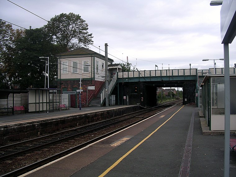
Photo: Terry Whalebone, CC BY 2.0.
Leyland railway station serves the town of Leyland in Lancashire, England. It was formerly "Golden Hill", the name of the street and area in which the station is based, but was renamed Leyland soon after opening. Leyland railway station is situated 1 mile south of Dexine.
Lostock Hall railway station
Railway station
 Lostock Hall railway station is a railway station serving the village of Lostock Hall in the South Ribble borough of Lancashire, England. It is on the East Lancashire Line and is managed by Northern Trains, who also provide all passenger trains serving it. Lostock Hall railway station is situated 1 mile north of Dexine.
Places in the Area
Nearby places include Leyland and Whitestake.
Leyland
Town

Photo: Terry Whalebone, CC BY 2.0.
Preston is a city in the county of Lancashire in North West England, with a population in 2021 of 148,000. It's a former textile and engineering town; it still makes aircraft, hosts the county local government, and has a university.
Whitestake
Village

Photo: Margaret Clough, CC BY-SA 2.0.
Whitestake is a small village in the South Ribble district of Lancashire, England, on the eastern edge of New Longton It is at the boundary of the parishes of Farington, Longton and Penwortham. Whitestake is situated 2 miles northwest of Dexine.
Clayton Brook
Village

Photo: Paul Glenville, CC BY-SA 2.0.
Clayton Brook is a large residential estate in Lancashire, between the city of Preston and the town of Chorley. It forms part of the Clayton-le-Woods civil parish, and is in the Clayton-le-Woods North ward of the borough of Chorley. Clayton Brook is situated 2 miles east of Dexine.
Dexine
- Category: industry
- Location: Farington, South Ribble, Lancashire, North West England, England, United Kingdom, Britain and Ireland, Europe
- View on OpenStreetMap
Latitude
53.71058° or 53° 42′ 38″ northLongitude
-2.69028° or 2° 41′ 25″ westOpen location code
9C5VP865+6VOpenStreetMap ID
node 5607140926OpenStreetMap feature
man_made=works
This page is based on OpenStreetMap, Wikidata, and Wikimedia Commons.
We’d love your help improving our open data sources. Thank you for contributing.
Satellite Map
Discover Dexine from above in high-definition satellite imagery.
Notable Places Nearby
Highlights include Disused BTR Social Club and Farington Park.
Nearby Places
Explore places such as Leyland Rubber Components Ltd and Leyland Business Park.
Lancashire: Must-Visit Destinations
Delve into Blackpool, Blackburn, Preston, and Lancaster.
Curious Factories to Discover
Uncover intriguing factories from every corner of the globe.
About Mapcarta. Data © OpenStreetMap contributors and available under the Open Database License". Text is available under the CC BY-SA 4.0 license, except for photos, directions, and the map. Photo: matthewhartley369, CC BY-SA 2.0.