Unity Senter
Unity Senter is a shop in Oslo Municipality, Oslo, Innlandet. Unity Senter is situated nearby to the office building Møllergata 19, as well as near the convention center Oslo Kongressenter / Folkets Hus.| Tap on a place to explore it |
Places of Interest Nearby
Highlights include Oslo Cathedral and Oslo Central Station.
Oslo Cathedral
Church

Photo: Nina-no, CC BY-SA 3.0.
Oslo Cathedral — formerly Our Savior's Church — is the main church for the Church of Norway Diocese of Oslo, as well as the parish church for downtown Oslo. Oslo Cathedral is situated 360 metres south of Unity Senter.
Oslo Central Station
Railway station
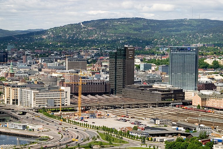
Photo: Wikimedia, CC BY-SA 3.0.
Oslo Central Station is the main railway station in Oslo, and the largest railway station within the entire Norwegian railway system. It connects with Jernbanetorget station, which is served by trams and the Oslo Metro. Oslo Central Station is situated 580 metres southeast of Unity Senter.
Einar Gerhardsens plass
Square

Photo: Helge Høifødt, CC BY-SA 3.0.
Einar Gerhardsens plass is a town square between the three government buildings S Block, R4, and Høyblokka in Regjeringskvartalet in Oslo. The street Grubbegata passes through the square. The square was named in 1997 after Prime Minister Einar Gerhardsen. Einar Gerhardsens plass is situated 120 metres west of Unity Senter.
Places in the Area
Nearby places include Regjeringskvartalet and Hausmannsområdet.
Regjeringskvartalet
Neighborhood

Photo: Paalso, CC BY-SA 3.0.
Regjeringskvartalet is a collection of buildings located in the centre of Norway's capital city Oslo, housing several offices for the Norwegian Government.
Hausmannsområdet
Neighborhood

Photo: Helge Høifødt, CC BY-SA 3.0.
Hausmannsområdet is a neighborhood.
Vaterland
Quarter
Vaterland is a neighborhood in Oslo, Norway. It is located north of the tracks at Oslo Central Station, between Jernbanetorget, Storgata and Akerselva river.
Unity Senter
- Type: Shop
- Location: Oslo Municipality, Oslo, Oslo region, East Norway, Alvdal, Innlandet, Norway, Nordic countries, Europe
- View on OpenStreetMap
Latitude
59.91566° or 59° 54′ 56″ northLongitude
10.74849° or 10° 44′ 55″ eastOpen location code
9FFGWP8X+79OpenStreetMap ID
node 5908607740OpenStreetMap feature
shop=healing
This page is based on OpenStreetMap, Wikidata, and Wikimedia Commons.
We’d love your help improving our open data sources. Thank you for contributing.
Satellite Map
Discover Unity Senter from above in high-definition satellite imagery.
Notable Places Nearby
Highlights include Møllergata 19 and Folkets Hus i Oslo.
Nearby Places
Explore places such as Hells Kitchen and Illegal Burger.
Oslo: Must-Visit Destinations
Delve into Sentrum, North Oslo, Inner North, and Inner East.
Curious Shops to Discover
Uncover intriguing shops from every corner of the globe.
About Mapcarta. Data © OpenStreetMap contributors and available under the Open Database License". Text is available under the CC BY-SA 4.0 license, except for photos, directions, and the map. Photo: Krakers, CC BY-SA 4.0.