Datchet
Datchet is a railway stop in Datchet, Windsor and Maidenhead, England. Datchet is situated nearby to the pub The Royal Stag, as well as near the church St Mary the Virgin.| Tap on a place to explore it |
Places of Interest Nearby
Highlights include Datchet railway station and Windsor Castle.
Datchet railway station
Railway station

Photo: Chris j wood, CC BY-SA 4.0.
Datchet railway station serves the village of Datchet in Berkshire, England. It is 23 miles 63 chains down the line from London Waterloo, on the Staines to Windsor & Eton Line.
Windsor Castle

Photo: Nauticashades, CC BY 2.5.
Windsor Castle is a royal residence at Windsor in the English county of Berkshire, about 25 miles west of central London. It is strongly associated with the English and succeeding British royal family, and embodies almost a millennium of architectural history. Windsor Castle is situated 1 mile west of Datchet.
The Royal Stag
Pub

Photo: Nigel Cox, CC BY-SA 2.0.
The Royal Stag is a pub, which is situated 500 feet north of Datchet.
Places in the Area
Nearby places include Datchet and Sumptermead Ait.
Datchet
Village

Photo: Darren Smith, CC BY-SA 2.0.
Datchet is a village and civil parish in the Royal Borough of Windsor and Maidenhead in Berkshire, England, on the north bank of the River Thames. Historically part of Buckinghamshire, and the Stoke Hundred, the village was eventually transferred to Berkshire, under the Local Government Act of 1972.
Sumptermead Ait
Locality
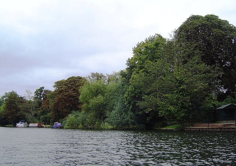
Photo: Motmit, CC BY-SA 3.0.
Sumptermead Ait is an island in the River Thames in England on the reach above Old Windsor Lock, near Datchet, Berkshire. The island is a thin wooded strip separated by a narrow channel on the Datchet side.

Datchet
- Type: Railway stop
- Categories: transport stop and transportation
- Location: Datchet, Windsor and Maidenhead, England, United Kingdom, Britain and Ireland, Europe
- View on OpenStreetMap
Latitude
51.48278° or 51° 28′ 58″ northLongitude
-0.57914° or 0° 34′ 45″ westOpen location code
9C3XFCMC+48OpenStreetMap ID
node 6022902660OpenStreetMap feature
public_transport=stop_position
This page is based on OpenStreetMap, Wikidata, and Wikimedia Commons.
We’d love your help improving our open data sources. Thank you for contributing.
Satellite Map
Discover Datchet from above in high-definition satellite imagery.
Places with the Same Name
Discover other places named “Datchet”.
Notable Places Nearby
Highlights include Datchet St Mary’s CofE Primary School and St Mary the Virgin.
Nearby Places
Explore places such as Coral and Nibbles.
England: Must-Visit Destinations
Delve into London, Manchester, Sheffield, and Leeds.
Curious Railway Stops to Discover
Uncover intriguing railway stops from every corner of the globe.
About Mapcarta. Data © OpenStreetMap contributors and available under the Open Database License". Text is available under the CC BY-SA 4.0 license, except for photos, directions, and the map. Photo: sidibousaid, CC BY 2.0.