Monte Turello
Monte Turello is a peak in Soriano nel Cimino, Viterbo, Lazio and has an elevation of 635 metres. Monte Turello is situated nearby to the locality Poggio Orlando, as well as near the hamlet Selvarella.| Tap on a place to explore it |
Places of Interest
Highlights include Monte Cimino and Chiesa di San Nicola di Bari (Soriano nel Cimino).
Monte Cimino
Peak

Photo: Dino Michelini, CC BY 3.0.
Mount Cimino is the highest peak in Lazio's Anti-Apennine chain of the Cimini Mountains, and in the entire province of Viterbo. It towers above the town of Soriano nel Cimino.
Chiesa di San Nicola di Bari (Soriano nel Cimino)
Church

Photo: Croberto68, Public domain.
Chiesa di San Nicola di Bari (Soriano nel Cimino) is a church.

Places in the Area
Nearby places include Vitorchiano and Bagnaia.
Vitorchiano
Village

Photo: Albarubescens, CC BY-SA 4.0.
Vitorchiano is a comune in the Province of Viterbo in the Italian region of Latium, located about 70 kilometres northwest of Rome and about 7 kilometres northeast of Viterbo.
Bagnaia
Village
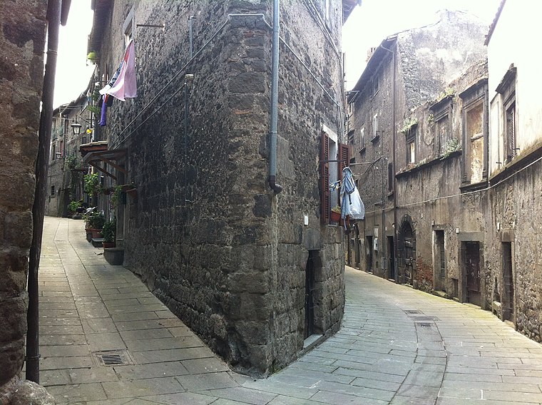
Photo: Giant60az, CC BY-SA 3.0.
Bagnaia is a village in Lazio, central Italy, administratively a frazione of the comune of Viterbo, province of Viterbo. Former municipality, it was annexed to the comune of Viterbo in 1928.
Canepina
Village

Photo: Lucafo75, CC BY-SA 4.0.
Canepina is a comune in the Province of Viterbo in the Italian region of Latium, located about 60 kilometres northwest of Rome and about 11 kilometres southeast of Viterbo.
Monte Turello
- Type: Peak with an elevation of 635 metres
- Category: landform
- Location: Soriano nel Cimino, Viterbo, Lazio, Central Italy, Italy, Europe
- View on OpenStreetMap
Latitude
42.4295° or 42° 25′ 46″ northLongitude
12.2061° or 12° 12′ 22″ eastElevation
635 metres (2,083 feet)Open location code
8FJJC6H4+QCOpenStreetMap ID
node 6058581630OpenStreetMap feature
natural=peak
This page is based on OpenStreetMap, Wikidata, and Wikimedia Commons.
We’d love your help improving our open data sources. Thank you for contributing.
Satellite Map
Discover Monte Turello from above in high-definition satellite imagery.
Localities in the Area
Explore places such as Poggio Orlando and Selvarella.
Notable Places Nearby
Highlights include Monte Roccaltia and Innominata.
Viterbo: Must-Visit Destinations
Delve into Viterbo, Tarquinia, Montefiascone, and Civita Castellana.
Curious Peaks to Discover
Uncover intriguing peaks from every corner of the globe.
About Mapcarta. Data © OpenStreetMap contributors and available under the Open Database License". Text is available under the CC BY-SA 4.0 license, except for photos, directions, and the map. Photo: Pippo-b, Public domain.