De Samenloop
De Samenloop is a work of art in Utrecht, Utrecht. De Samenloop is situated nearby to the grassland bbq-veld, as well as near Máxima parkrun.| Tap on a place to explore it |
Places of Interest Nearby
Highlights include Observatorium and Vleuterweide public library and drop point.
Observatorium
Scenic viewpoint

Photo: Brbbl, CC BY-SA 3.0.
Observatorium is a scenic viewpoint, which is situated 480 metres northwest of De Samenloop.
Vleuterweide public library and drop point
Library

Photo: Petraotten, CC BY-SA 3.0.
Vleuterweide public library and drop point is situated 1 km west of De Samenloop.
Utrecht Terwijde railway station
Railway station
 Utrecht Terwijde is a railway station on the Utrecht–Rotterdam railway. It is located between Vleuten and Utrecht Leidsche Rijn stations. The Terwijde neighbourhood is part of the Leidsche Rijn area under construction, west of Utrecht. Utrecht Terwijde railway station is situated 1½ km northeast of De Samenloop.
Places in the Area
Nearby places include Het Zand and Vleuterweide.
Het Zand
Quarter

Photo: Itsramon, CC BY-SA 3.0.
Het Zand is a hamlet in the Dutch province of Utrecht, in the municipality of Utrecht.

De Meern
Town
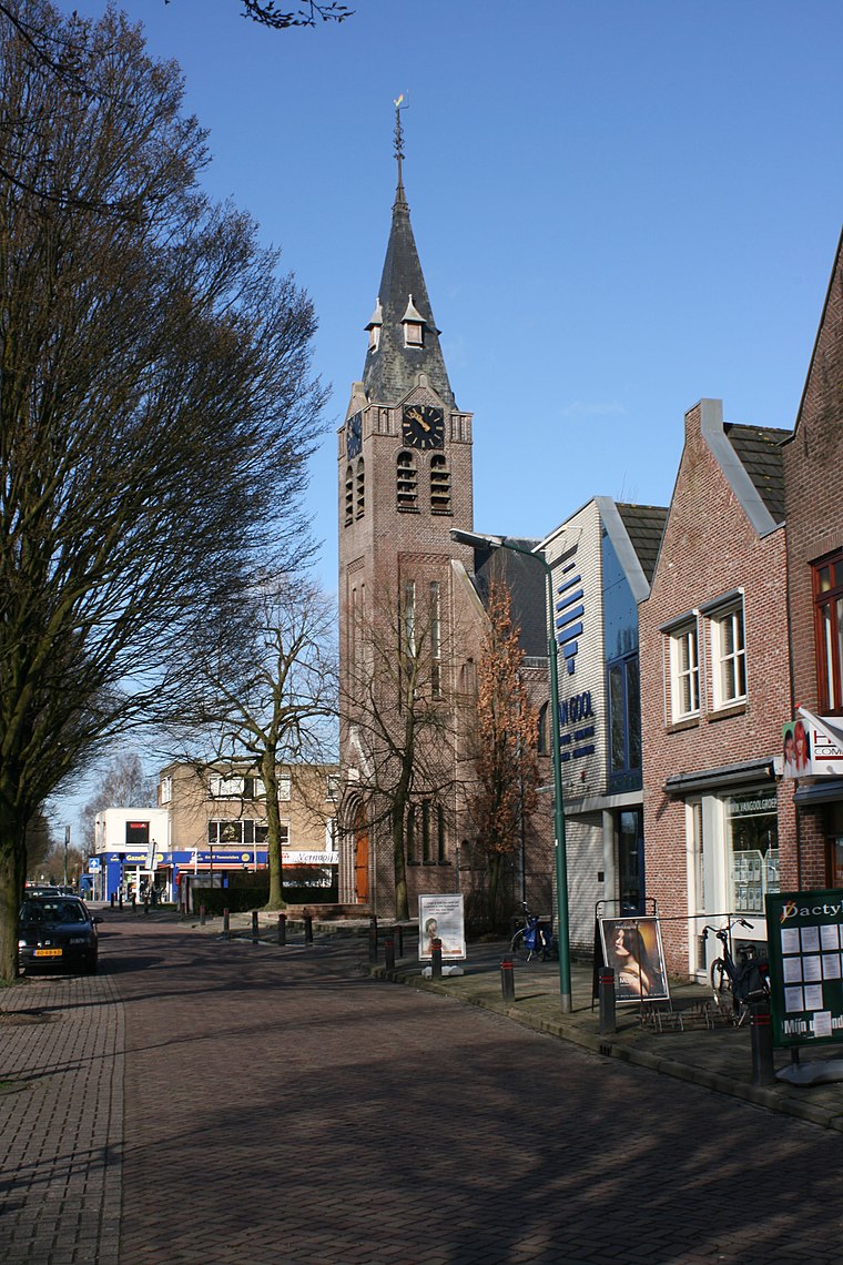
Photo: Wikimedia, CC BY-SA 2.5.
De Meern is an urbanized village in the Dutch province of Utrecht. It is a part of the municipality of Utrecht, and is located at 6 km west of the inner city of this town.
De Samenloop
- Type: Work of art
- Category: tourism
- Location: Utrecht, Utrecht, Western Netherlands, Netherlands, Benelux, Europe
- View on OpenStreetMap
Latitude
52.09339° or 52° 5′ 36″ northLongitude
5.02598° or 5° 1′ 34″ eastOpen location code
9F4732VG+99OpenStreetMap ID
node 6093795266OpenStreetMap feature
tourism=artwork
This page is based on OpenStreetMap, Wikidata, and Wikimedia Commons.
We’d love your help improving our open data sources. Thank you for contributing.
Satellite Map
Discover De Samenloop from above in high-definition satellite imagery.
Notable Places Nearby
Highlights include bbq-veld and Máxima parkrun.
Nearby Places
Explore places such as Máximapark and Máximapark.
Utrecht: Must-Visit Destinations
Delve into Amersfoort, Zeist, Veenendaal, and Soest.
Curious Work Of Arts to Discover
Uncover intriguing work of arts from every corner of the globe.
About Mapcarta. Data © OpenStreetMap contributors and available under the Open Database License". Text is available under the CC BY-SA 4.0 license, except for photos, directions, and the map. Photo: Al1 73, CC BY-SA 3.0.