IB Lichtateljee
IB Lichtateljee is a shop in Bruges, West Flanders, Flanders. IB Lichtateljee is situated nearby to the park Edgard De Smedtplantsoen, as well as near MaZ (Magdalenazaal).| Tap on a place to explore it |
Places of Interest Nearby
Highlights include Sint-Baafskerk and Smedenpoort.
Sint-Baafskerk
Church

Photo: LimoWreck, CC BY-SA 3.0.
Sint-Baafskerk is a church, which is situated 190 metres west of IB Lichtateljee.
Smedenpoort
City gate

Photo: MJJR, CC BY-SA 2.5.
Smedenpoort is a city gate, which is situated 420 metres northeast of IB Lichtateljee.
Groeningemuseum
Museum
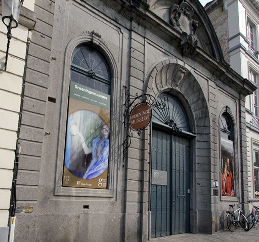
Photo: Le Fou, CC BY-SA 3.0.
The Groeningemuseum is a municipal museum in Bruges, Belgium, built on the site of the medieval Eekhout Abbey. It houses a collection of Flemish and Belgian painting covering six centuries, from Jan van Eyck to Marcel Broodthaers. Groeningemuseum is situated 1¼ km east of IB Lichtateljee.
Places in the Area
Nearby places include Boeveriewijk and Ezelstraatkwartier.


IB Lichtateljee
- Type: Shop
- Location: Bruges, Arrondissement of Bruges, West Flanders, Flanders, Belgium, Benelux, Europe
- View on OpenStreetMap
Latitude
51.20255° or 51° 12′ 9″ northLongitude
3.20722° or 3° 12′ 26″ eastOpen location code
9F356634+2VOpenStreetMap ID
node 6235443652OpenStreetMap feature
shop=lighting
This page is based on OpenStreetMap, Wikidata, and Wikimedia Commons.
We’d love your help improving our open data sources. Thank you for contributing.
Satellite Map
Discover IB Lichtateljee from above in high-definition satellite imagery.
Notable Places Nearby
Highlights include Edgard De Smedtplantsoen and MaZ (Magdalenazaal).
Nearby Places
Explore places such as VDK-Motoparts and Het Motief.
West Flanders: Must-Visit Destinations
Delve into Kortrijk, Ostend, Ypres, and Roeselare.
Curious Shops to Discover
Uncover intriguing shops from every corner of the globe.
About Mapcarta. Data © OpenStreetMap contributors and available under the Open Database License". Text is available under the CC BY-SA 4.0 license, except for photos, directions, and the map. Photo: MJJR, CC BY 3.0.