RVS
RVS is a convenience store in Epsom and Ewell District, Surrey, England. RVS is situated nearby to Epsom General Hospital, as well as near the sports venue Epsom Tennis Club.| Tap on a place to explore it |
Places of Interest Nearby
Highlights include Epsom General Hospital and Epsom Playhouse.
Epsom General Hospital
Hospital
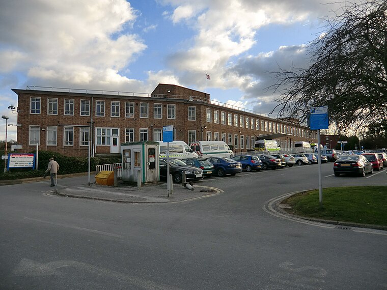
Photo: Brezelsuppe, CC BY-SA 3.0.
Epsom Hospital is a teaching hospital in Epsom, Surrey, England. The hospital is situated on Dorking Road 1 kilometre south east of the centre of Epsom.
Epsom Playhouse
Theater building

Photo: Oscar248, CC BY-SA 3.0.
Epsom Playhouse is the main theatre in Epsom and Ewell, Surrey, England. Epsom Playhouse is situated 2,300 feet north of RVS.
Rosebery School
School
Rosebery School is an all-girls school located in Epsom, Surrey. It consists of a lower school for those aged between 11 and 16, and a sixth form for those aged between 16 and 18. Rosebery School is situated 1,300 feet northwest of RVS.
Places in the Area
Nearby places include Epsom and Langley Vale.
Epsom

Photo: monkeywing, CC BY 2.0.
Epsom is a residential town of about 31,500 people in Surrey, 15 miles south west of London, just outside the metropolitan boundary of Greater London. Its racecourse is home to the Epsom Derby, a two-day festival of horse racing dating back to 1780.
Langley Vale
Hamlet

Photo: Hywel Williams, CC BY-SA 2.0.
Langley Vale is a village in the Borough of Epsom and Ewell, in Surrey, England, approximately 15 miles south of central London. As its name suggests, the village is in a dry valley between Epsom Downs and Walton Downs.
Tattenham Corner
Village

Photo: Stephen McKay, CC BY-SA 2.0.
Tattenham Corner is in north Surrey, England, the name is principally associated with Epsom Racecourse. The railway station of the same name is in the Tattenhams ward of Reigate and Banstead Borough. Tattenham Corner is situated 2 miles southeast of RVS.
RVS
- Type: Convenience store
- Categories: shop and food
- Location: Epsom and Ewell District, Surrey, South East England, England, United Kingdom, Britain and Ireland, Europe
- View on OpenStreetMap
Latitude
51.32557° or 51° 19′ 32″ northLongitude
-0.27403° or 0° 16′ 27″ westOpen location code
9C3X8PGG+69OpenStreetMap ID
node 6268658422OpenStreetMap feature
shop=convenience
This page is based on OpenStreetMap, Wikidata, and Wikimedia Commons.
We’d love your help improving our open data sources. Thank you for contributing.
Satellite Map
Discover RVS from above in high-definition satellite imagery.
Places with the Same Name
Discover other places named “RVS”.
Notable Places Nearby
Highlights include Epsom Tennis Club and Epsom Cricket Club.
Nearby Places
Explore places such as Permit Holders and Epsom Hospital Pharmacy.
Surrey: Must-Visit Destinations
Delve into Guildford, Woking, Godalming, and Epsom.
Curious Convenience Stores to Discover
Uncover intriguing convenience stores from every corner of the globe.
About Mapcarta. Data © OpenStreetMap contributors and available under the Open Database License". Text is available under the CC BY-SA 4.0 license, except for photos, directions, and the map. Photo: Wikimedia, CC0.