Kings Road Tattoo
Kings Road Tattoo is a tattoo parlor in Borough of Brentwood, Essex, England. Kings Road Tattoo is situated nearby to the health club Boxgym Fitness, as well as near Brentwood Baptist Church.| Tap on a place to explore it |
Places of Interest Nearby
Highlights include Brentwood railway station and Brentwood Cathedral.
Brentwood railway station
Railway station

Photo: Sunil060902, CC BY-SA 3.0.
Brentwood railway station is on the Great Eastern Main Line in the East of England, serving the Essex town of Brentwood. It is 18 miles 16 chains down the line from London Liverpool Street and is situated between Harold Wood and Shenfield; it is in London fare zone 9. Brentwood railway station is situated 1,700 feet south of Kings Road Tattoo.
Brentwood Cathedral
Church

Photo: John Salmon, CC BY-SA 2.0.
The Cathedral of St Mary and St Helen is a Catholic cathedral in Brentwood, Essex, England. It is the seat of the Diocese of Brentwood. Brentwood Cathedral is situated 1,900 feet east of Kings Road Tattoo.
The Chapel of St Thomas a Becket
Ruins

Photo: Glyn Baker, CC BY-SA 2.0.
The Chapel of St Thomas a Becket is a ruins, which is situated 1,100 feet northeast of Kings Road Tattoo.
Places in the Area
Nearby places include Brentwood and Warley.
Brentwood
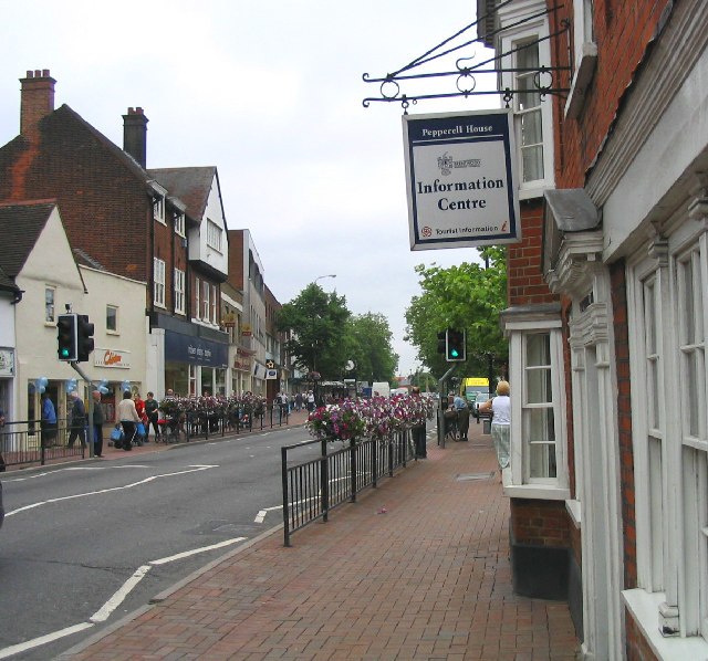
Photo: John Winfield, CC BY-SA 2.0.
Brentwood is a town in the Brentwood district, in Essex, England, in the London commuter belt 20 miles north-east of Charing Cross and close to the M25 motorway.
Warley
Suburb

Photo: John Winfield, CC BY-SA 2.0.
Warley is a suburb of Brentwood in Essex, situated to the south of the town. It was notable for being home to the British headquarters of Ford Motor Company prior to their office closure.
South Weald
Village
South Weald is a mainly farmland and park settlement and former civil parish, on the western edge of Brentwood, in the Brentwood district, in Essex, England.
Kings Road Tattoo
- Type: Tattoo parlor
- Category: shop
- Location: Borough of Brentwood, Essex, East of England, England, United Kingdom, Britain and Ireland, Europe
- View on OpenStreetMap
Latitude
51.618° or 51° 37′ 5″ northLongitude
0.29847° or 0° 17′ 55″ eastOpen location code
9F32J79X+59OpenStreetMap ID
node 6282675088OpenStreetMap feature
shop=tattoo
This page is based on OpenStreetMap, Wikidata, and Wikimedia Commons.
We’d love your help improving our open data sources. Thank you for contributing.
Satellite Map
Discover Kings Road Tattoo from above in high-definition satellite imagery.
Notable Places Nearby
Highlights include Boxgym Fitness and Brentwood Baptist Church.
Nearby Places
Explore places such as Kings and Skin Solutions.
Essex: Must-Visit Destinations
Delve into Colchester, Chelmsford, Southend-on-Sea, and Basildon.
Curious Tattoo Parlors to Discover
Uncover intriguing tattoo parlors from every corner of the globe.
About Mapcarta. Data © OpenStreetMap contributors and available under the Open Database License". Text is available under the CC BY-SA 4.0 license, except for photos, directions, and the map. Photo: Wikimedia, CC0.