Punta della Mucchiola
Punta della Mucchiola is a locality in Ortona, Chieti, Abruzzo. Punta della Mucchiola is situated nearby to the hamlet Murata Bassa, as well as near Murata Alta.| Tap on a place to explore it |
Places of Interest
Highlights include San Vito-Lanciano railway station and San Vito Martire.


San Vito-Lanciano old train station
Building

Photo: Wikimedia, CC BY-SA 3.0.
San Vito-Lanciano old train station is a building.
Places in the Area
Nearby places include Caldari and Rocca San Giovanni.
Caldari
Suburb
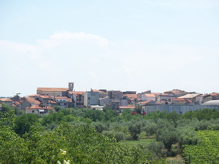
Photo: Andreach90, Public domain.
Caldari is a frazione of the municipality of Ortona in the Province of Chieti in Abruzzo, Italy. Some families that originate from Caldari include the DiIenno, Dragani, Tenaglia, Petrangelo, D'Annible, Gaeta, Mennicucci, Di Ienno, Di Nunzio, Natale, Vedilei, Cieri and Nasuti families. Caldari is situated 6 km southwest of Punta della Mucchiola.
Rocca San Giovanni
Village
 Rocca San Giovanni is a comune and town in the province of Chieti in the Abruzzo region of Italy. It is one of I Borghi più belli d'Italia. Rocca San Giovanni is situated 8 km south of Punta della Mucchiola.
Arielli
Hamlet
Arielli is a village and comune in the province of Chieti, Abruzzo, central-eastern Italy, located on a hill overlooking the spring area of the homonymous river. Arielli is situated 10 km northwest of Punta della Mucchiola.
Punta della Mucchiola
- Type: Locality
- Location: Ortona, Chieti, Abruzzo, Central Italy, Italy, Europe
- View on OpenStreetMap
Latitude
42.31674° or 42° 19′ 0″ northLongitude
14.43757° or 14° 26′ 15″ eastOpen location code
8FJP8C8Q+M2OpenStreetMap ID
node 6342843537OpenStreetMap feature
place=locality
This page is based on OpenStreetMap, Wikidata, and Wikimedia Commons.
We’d love your help improving our open data sources. Thank you for contributing.
Satellite Map
Discover Punta della Mucchiola from above in high-definition satellite imagery.
Places with the Same Name
Discover other places named “Punta della Mucchiola”.
Localities in the Area
Explore places such as Murata Bassa and Murata Alta.
Notable Places Nearby
Highlights include Trabocco Punta della Mucchiola and Spiaggia di Ripari Bardella.
Chieti: Must-Visit Destinations
Delve into Chieti, Vasto, and Roccamontepiano.
Curious Localities to Discover
Uncover intriguing localities from every corner of the globe.
About Mapcarta. Data © OpenStreetMap contributors and available under the Open Database License". Text is available under the CC BY-SA 4.0 license, except for photos, directions, and the map. Photo: Zitumassin, CC BY-SA 3.0.