Adalet Mahallesi Kütüphanesi
Adalet Mahallesi Kütüphanesi is a library in Bayraklı District, İzmir Province. Adalet Mahallesi Kütüphanesi is situated nearby to the mosque Altınyol Serhat Camii, as well as near the marketplace Pehlivanoğlu.| Tap on a place to explore it |
Places of Interest Nearby
Highlights include Folkart Towers and Salhane railway station.
Folkart Towers

Photo: Erdalsamuk, CC BY-SA 4.0.
Folkart Towers is a mixed-use skyscraper complex consisting in two twin towers located in the Bayraklı district of the Turkish city of İzmir. Reaching a structural height of 200 m with 47 floors above ground level each, they were the tallest buildings in İzmir between 2014 and 2017, until the completion of the 48-floor Mistral Office Tower. Folkart Towers is situated 400 metres southwest of Adalet Mahallesi Kütüphanesi.
Salhane railway station
Railway station
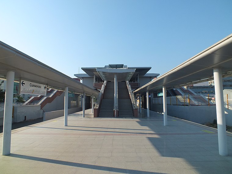
Photo: Central Data Bank, CC BY-SA 3.0.
Salhane is a railway station in İzmir. İZBAN operates commuter trains north to Aliağa and Menemen and south to Cumaovası and Tepeköy. Salhane opened in 2001, and was serviced by the Basmane-Aliağa Regional and the Alsancak-Çiğli Commuter Line. Salhane railway station is situated 1 km southwest of Adalet Mahallesi Kütüphanesi.
Biva Tower
Building
 Biva Tower is a building, which is situated 520 metres southeast of Adalet Mahallesi Kütüphanesi.
Places in the Area
Nearby places include Bayraklı and Bornova.
Bayraklı
Town
 Bayraklı is a municipality and district of İzmir Province, Turkey. Its area is 30 km2, and its population is 299,859. It covers the northern part of the metropolitan area of İzmir.
Bornova
Town

Photo: ToprakM, CC BY-SA 4.0.
Bornova is a municipality and district of İzmir Province, Turkey. Its area is 220 km2, and its population is 454,470. It is the third largest district in İzmir's metropolitan area and is almost fully urbanized at the rate of 98.6 percent, with correspondingly high levels of development in terms of industries and services. Bornova is situated 3½ km east of Adalet Mahallesi Kütüphanesi.
Altındağ
Quarter
Altındağ is a densely populated zone of İzmir's Bornova district. The main intercity bus terminal of İzmir - IZOTAŞ is situated in Altındağ's Işıkkent quarter and is minutes away from Altındağ centre on foot. Altındağ is situated 5 km southeast of Adalet Mahallesi Kütüphanesi.
Adalet Mahallesi Kütüphanesi
- Type: Library
- Category: education
- Location: Bayraklı District, İzmir Province, Turkey, Middle East, Asia
- View on OpenStreetMap
Latitude
38.45654° or 38° 27′ 24″ northLongitude
27.17953° or 27° 10′ 46″ eastOpen location code
8GC9F54H+JROpenStreetMap ID
node 6356583062OpenStreetMap feature
amenity=library
This page is based on OpenStreetMap, Wikidata, and Wikimedia Commons.
We’d love your help improving our open data sources. Thank you for contributing.
Satellite Map
Discover Adalet Mahallesi Kütüphanesi from above in high-definition satellite imagery.
Notable Places Nearby
Highlights include Altınyol Serhat Camii and Pehlivanoğlu.
Nearby Places
Explore places such as Zılat Sitesi and Kavas.
Turkey: Must-Visit Destinations
Delve into Istanbul, Edirne, Ankara, and Izmir.
Curious Libraries to Discover
Uncover intriguing libraries from every corner of the globe.
About Mapcarta. Data © OpenStreetMap contributors and available under the Open Database License". Text is available under the CC BY-SA 4.0 license, except for photos, directions, and the map. Photo: Moonik, CC BY-SA 3.0.