Parroquia Cuerpo y Sangre de Cristo
Parroquia Cuerpo y Sangre de Cristo is a church in Iztapalapa, Mexico City which is located on Calle Sur 111 A. Parroquia Cuerpo y Sangre de Cristo is situated nearby to the pitch Canchas deportivas de Football-Basketball-Scouts, as well as near Cacha de usos multiples.| Tap on a place to explore it |
- Type: Church
- Denomination: Catholic
- Address: 645 Calle Sur 111 A, CDMX, 09060
Places of Interest Nearby
Highlights include Escuadrón 201 metro station and Aculco metro station.
Escuadrón 201 metro station
Metro station
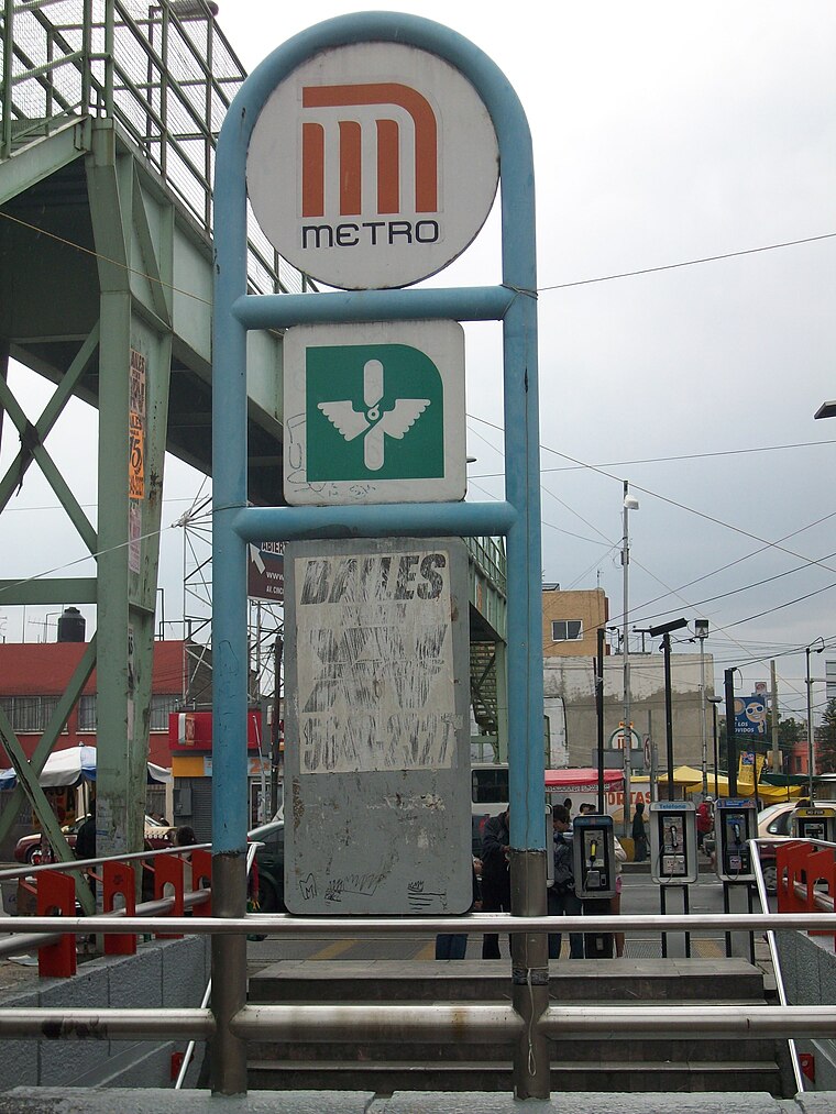
Photo: GAED, CC BY-SA 3.0.
Escuadrón 201 is a metro station in Mexico City, Mexico. It is located in the city's eastern Iztapalapa borough, close to the intersection of Eje 3 Oriente and Eje 8 Sur. Escuadrón 201 metro station is situated 610 metres southeast of Parroquia Cuerpo y Sangre de Cristo.
Aculco metro station
Metro station

Photo: Dge, CC BY-SA 3.0.
Aculco is a station along Line 8 of the metro of Mexico City. It is located under the bridge where the Trabajadoras Sociales passes over the Eje 3 Ote in the Colonia Pueblo Aculco neighborhood of the Iztapalapa borough of Mexico City. Aculco metro station is situated 1 km northeast of Parroquia Cuerpo y Sangre de Cristo.
Mexicaltzingo metro station
Metro station

Photo: GAED, CC BY-SA 3.0.
Mexicaltzingo is a station on Line 12 of the Mexico City Metro. The station is located between Ermita and Atlalilco. It was opened on 30 October 2012 as a part of the first stretch of Line 12 between Mixcoac and Tláhuac. Mexicaltzingo metro station is situated 1¼ km southwest of Parroquia Cuerpo y Sangre de Cristo.
Places in the Area
Nearby places include Pueblo Culhuacán and Churubusco.
Pueblo Culhuacán
Quarter

Photo: Thelmadatter, CC BY-SA 3.0.
Pueblo Culhuacán is an officially designated neighborhood of the Iztapalapa borough of Mexico City, which used to be a major pre-Hispanic city. Ancient Culhuacán was founded around 600 CE and the site has been continuously occupied since. Pueblo Culhuacán is situated 3 km south of Parroquia Cuerpo y Sangre de Cristo.
Churubusco
Quarter

Photo: Adolphe Jean-Baptiste Bayot, Public domain.
Churubusco is a neighbourhood of Mexico City. Under the current territorial division of the Mexican Federal District, it is a part of the borough of Coyoacán. Churubusco is situated 4 km west of Parroquia Cuerpo y Sangre de Cristo.
Colonia de La Candelaria
Quarter

Photo: Betoqa, CC BY-SA 3.0.
Colonia de La Candelaria is a quarter, which is situated 5 km southwest of Parroquia Cuerpo y Sangre de Cristo.
Parroquia Cuerpo y Sangre de Cristo
- Categories: place of worship and religion
- Location: Iztapalapa, Mexico City, Central Mexico, Mexico, North America
- View on OpenStreetMap
Latitude
19.36702° or 19° 22′ 1″ northLongitude
-99.11487° or 99° 6′ 54″ westOpen location code
76F29V8P+R3OpenStreetMap ID
node 6394650550OpenStreetMap feature
amenity=place_of_worshipOpenStreetMap attribute
denomination=catholic
This page is based on OpenStreetMap, Wikidata, and Wikimedia Commons.
We’d love your help improving our open data sources. Thank you for contributing.
Satellite Map
Discover Parroquia Cuerpo y Sangre de Cristo from above in high-definition satellite imagery.
Notable Places Nearby
Highlights include Canchas deportivas de Football-Basketball-Scouts and Cacha de usos multiples.
Nearby Places
Explore places such as La Cruz and Petite planete.
Mexico City: Must-Visit Destinations
Delve into Centro, Xochimilco, Coyoacán, and Condesa and Roma.
Curious Churches to Discover
Uncover intriguing churches from every corner of the globe.
About Mapcarta. Data © OpenStreetMap contributors and available under the Open Database License". Text is available under the CC BY-SA 4.0 license, except for photos, directions, and the map. Photo: Pancho Cárdenas, CC BY-SA 3.0.