Teh Tarik Eating House
Teh Tarik Eating House is a restaurant in Singapore. Teh Tarik Eating House is situated nearby to the quarter Hong Kah, as well as near the Buddhist temple Boo Tong San Temple.| Tap on a place to explore it |
Places of Interest Nearby
Highlights include Hua Yi Secondary School and Lakeside.
Hua Yi Secondary School
School

Photo: Montyred, CC BY-SA 3.0.
Hua Yi Secondary School is a government secondary school located in Jurong West, Singapore. Founded in 1956 as Hua Yi Government Chinese Middle School. Hua Yi Secondary School is situated 210 metres northeast of Teh Tarik Eating House.
Lakeside
Metro station

Photo: Jpatokal, CC BY-SA 4.0.
Lakeside MRT station is an elevated Mass Rapid Transit station on the East–West Line in Jurong West, Singapore. Operated by SMRT Trains, the station serves the eponymous Jurong Lake and the Hong Kah and Taman Jurong residential estate. Lakeside is situated 720 metres south of Teh Tarik Eating House.
Yuhua Secondary School
School
Yuhua Secondary School is a co-educational government school in Jurong West, Singapore which offers the Express, Normal and Normal streams. It was founded in 1986. Yuhua Secondary School is situated 480 metres southeast of Teh Tarik Eating House.
Places in the Area
Nearby places include Hong Kah and Boon Lay.
Hong Kah
Quarter
Hong Kah is a residential precinct in Jurong West, Singapore. It is bounded by the PIE, Corporation Road, Jurong Canal Drive, Jurong East Avenue 1 and Jurong Town Hall Road.
Boon Lay
Quarter
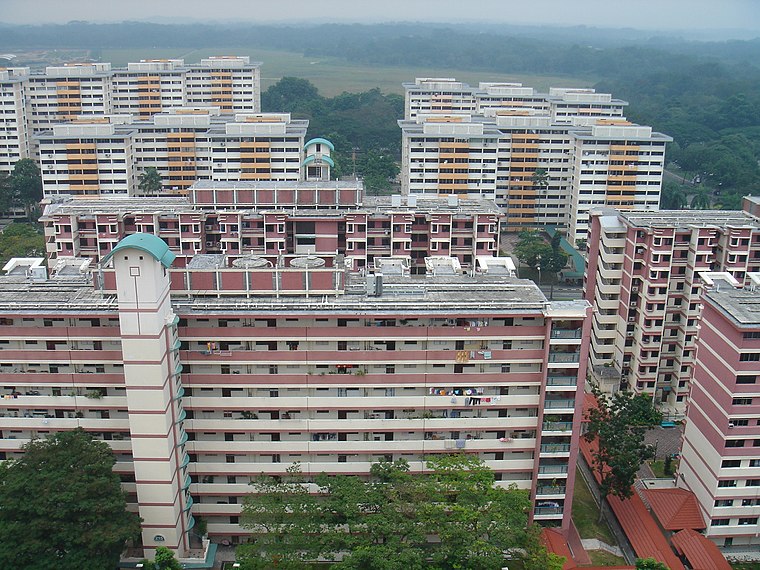
Photo: Mailer diablo, CC BY-SA 3.0.
Boon Lay is a neighbourhood located in the town of Jurong West in the West Region of Singapore. Its borders very roughly correspond to the URA subzone of Boon Lay Place, situated within the Jurong West Planning Area.
Wenya
Quarter
Wenya is a subzone of Jurong West, Singapore. This subzone comprises businesses, educational institutions, residential developments and civic and community institutions.
Teh Tarik Eating House
- Type: Restaurant
- Cuisine: coffee shop
- Category: food
- Location: Singapore, Southeast Asia, Asia
- View on OpenStreetMap
Latitude
1.3507° or 1° 21′ 3″ northLongitude
103.72034° or 103° 43′ 13″ eastOpen location code
6PH59P2C+74OpenStreetMap ID
node 6436392752OpenStreetMap feature
amenity=restaurantOpenStreetMap attribute
cuisine=coffee_shop
This page is based on OpenStreetMap, Wikidata, and Wikimedia Commons.
We’d love your help improving our open data sources. Thank you for contributing.
Satellite Map
Discover Teh Tarik Eating House from above in high-definition satellite imagery.
Places with the Same Name
Discover other places named “Teh Tarik Eating House”.
Notable Places Nearby
Highlights include Boo Tong San Temple and United Temple.
Nearby Places
Explore places such as The Black Tie and A&K Electrical Hardware Pte Ltd.
Singapore: Must-Visit Destinations
Delve into Singapore Changi Airport, Sentosa and Harbourfront, North and West, and Riverside.
Curious Restaurants to Discover
Uncover intriguing restaurants from every corner of the globe.
About Mapcarta. Data © OpenStreetMap contributors and available under the Open Database License". Text is available under the CC BY-SA 4.0 license, except for photos, directions, and the map. Photo: Khairul Nizam, CC BY 2.0.