Iron Blow
Iron Blow is in West Coast Council, Tasmania. Iron Blow is situated nearby to the peak Mount Lyell.| Tap on a place to explore it |
Places of Interest Nearby
Highlights include Horsetail Falls and Mount Lyell.
Horsetail Falls
Waterfall

Photo: Titandrake, CC0.
Horsetail Falls is a seasonal waterfall near Queenstown, Tasmania. The falls cascades over 50 metres down a steep cliff face, and can be seen from the road. A boardwalk giving closer access was opened in 2017. Horsetail Falls is situated 1½ km south of Iron Blow.
Mount Lyell
Peak
Mount Lyell is a mountain in the West Coast Range of Western Tasmania, Australia. Mount Lyell has an elevation of 917 metres above sea level. The adjacent mountains are Mount Sedgwick to the north and Mount Owen to the south. Mount Lyell is situated 3 km northeast of Iron Blow.
The Paragon Theatre
Theater building
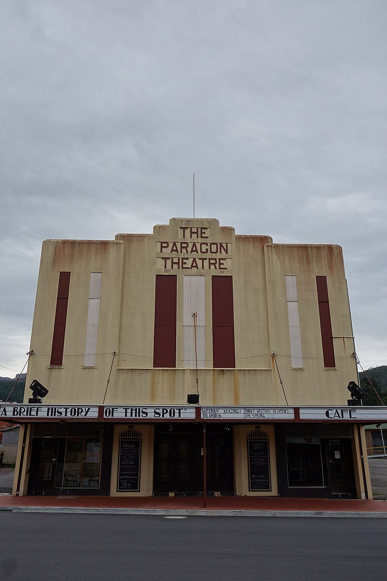 The Paragon Theatre is a historic cinema and live entertainment venue in Queenstown, Tasmania, Australia. The Paragon Theatre is situated 3 km southwest of Iron Blow.
Places in the Area
Nearby places include Queenstown.
Queenstown

Photo: Wiki ian, CC BY-SA 3.0.
Queenstown is an old mining town in Western Tasmania, that has been recognised by the National Trust as a historic town. It is about a 4 hour drive from Hobart on the Lyell Highway.
Iron Blow
- Type: Tourist attraction
- Category: tourism
- Location: West Coast Council, Tasmania, Australia, Oceania
- View on OpenStreetMap
Latitude
-42.0682° or 42° 4′ 6″ southLongitude
145.59054° or 145° 35′ 26″ eastOpen location code
4R97WHJR+P6OpenStreetMap ID
node 6520692685OpenStreetMap feature
tourism=attraction
This page is based on OpenStreetMap, Wikidata, and Wikimedia Commons.
We’d love your help improving our open data sources. Thank you for contributing.
Satellite Map
Discover Iron Blow from above in high-definition satellite imagery.
Places with the Same Name
Discover other places named “Iron Blow”.
Notable Places Nearby
Highlights include Iron Blow Lookout and Royal Hotel Linda.
Nearby Places
Explore places such as Queenstown Substation and SES Queenstown.
Tasmania: Must-Visit Destinations
Delve into Hobart, Bass Strait Islands, Launceston, and Arthur-Pieman Conservation Area.
Curious Places to Discover
Uncover intriguing places from every corner of the globe.
About Mapcarta. Data © OpenStreetMap contributors and available under the Open Database License". Text is available under the CC BY-SA 4.0 license, except for photos, directions, and the map. Photo: Wikimedia, CC0.