Autohaus Edighoffer
Autohaus Edighoffer is a gas station in Annweiler am Trifels, Südliche Weinstraße, Rhineland-Palatinate. Autohaus Edighoffer is situated nearby to the fountain Pirminius Brunnen, as well as near the village Queichhambach.| Tap on a place to explore it |
Places of Interest Nearby
Highlights include Jewish cemetery, Annweiler am Trifels and Hohenberg Tower.
Jewish cemetery, Annweiler am Trifels
Cemetery

Photo: RuWild, CC BY-SA 4.0.
Jewish cemetery, Annweiler am Trifels is situated 800 metres southwest of Autohaus Edighoffer.
Hohenberg Tower

Photo: Steffen 962, CC BY-SA 4.0.
Hohenberg Tower is situated 2 km southeast of Autohaus Edighoffer.
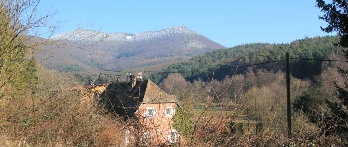
Hohenberg
Peak
 The Hohenberg is a 552 m above sea level high hill in the Palatinate Forest, in the municipalities of Birkweiler, Queichhambach and Siebeldingen. At its summit is an observation tower, a refuge hut and starting ramps for hang gliders.
Places in the Area
Nearby places include Queichhambach and Vogelstockerhof.

Albersweiler
Village

Photo: Gerd Eichmann, CC BY-SA 4.0.
Albersweiler is a municipality in the Südliche Weinstraße district, in Rhineland-Palatinate, Germany. It is part of the Verbandsgemeinde Annweiler am Trifels. Albersweiler is situated 3 km east of Autohaus Edighoffer.
Autohaus Edighoffer
- Type: Gas station
- Category: transportation
- Location: Annweiler am Trifels, Südliche Weinstraße, Rhineland-Palatinate, Germany, Central Europe, Europe
- View on OpenStreetMap
Latitude
49.21486° or 49° 12′ 54″ northLongitude
7.98865° or 7° 59′ 19″ eastBrand
EssoOpen location code
8FX96X7Q+WFOpenStreetMap ID
node 655281968OpenStreetMap feature
amenity=fuel
This page is based on OpenStreetMap, Wikidata, and Wikimedia Commons.
We’d love your help improving our open data sources. Thank you for contributing.
Satellite Map
Discover Autohaus Edighoffer from above in high-definition satellite imagery.
Notable Places Nearby
Highlights include Pirminius Brunnen and Trifelsstadion.
Nearby Places
Explore places such as Queichhambach, West and Reifenhandel Gashi Mentor.
Rhineland-Palatinate: Must-Visit Destinations
Delve into Mainz, Trier, Koblenz, and Worms.
Curious Gas Stations to Discover
Uncover intriguing gas stations from every corner of the globe.
About Mapcarta. Data © OpenStreetMap contributors and available under the Open Database License". Text is available under the CC BY-SA 4.0 license, except for photos, directions, and the map. Photo: Traveler100, CC BY-SA 3.0.