Crawpeel Road
Crawpeel Road is a bus stop in Aberdeen, Scotland. Crawpeel Road is situated nearby to the fire station Altens, as well as near the health club PureGym.| Tap on a place to explore it |
Places of Interest Nearby
Highlights include Balmoral Stadium and St Mary’s Church.
Balmoral Stadium
Stadium

Photo: Peter Moore, CC BY-SA 2.0.
Balmoral Stadium is a football ground located in the Cove Bay area of Aberdeen, Scotland. Opened in 2018, it is the home ground of Scottish League One club Cove Rangers. From 2021, it is being shared by Scottish Women's Premier League team Aberdeen. Balmoral Stadium is situated 2,700 feet west of Crawpeel Road.
St Mary’s Church
Church
St Mary the Virgin was an Episcopal Church in Cove Bay, Aberdeen, Scotland. It was part of the Diocese of Aberdeen and Orkney in the Scottish Episcopal Church until its closure in April 2020. St Mary’s Church is situated 3,900 feet south of Crawpeel Road.
Kincorth Library
Library

Photo: Ewen Rennie, CC BY-SA 2.0.
Kincorth Library is situated 1 mile northwest of Crawpeel Road.
Places in the Area
Nearby places include Altens and Cove Bay.
Altens
Suburb
Altens is a district in Aberdeen, on the north-east coast of Scotland. Altens is home to a large industrial estate, alongside a similar estate in neighbouring Tullos.
Cove Bay
Suburb
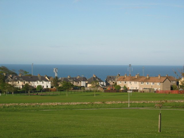
Photo: Lizzie, CC BY-SA 2.0.
Cove Bay, known locally as Cove, is a suburb on the south-east edge of Aberdeen, Scotland. Today Cove is home to around 8,000 people. It is a popular residential location owing to its village-like status.
Tullos
Quarter

Photo: Richard Slessor, CC BY-SA 2.0.
Tullos is an area of Aberdeen, Scotland. The area takes its name from the Vale of Tullos, which lies between Tullos Hill and Torry Hill. Tullos derived its name from a corruption of the Gaelic ‘Tulach’ meaning a hill.
Crawpeel Road
- Type: Bus stop
- Category: transportation
- Location: Aberdeen, Scotland, United Kingdom, Britain and Ireland, Europe
- View on OpenStreetMap
Latitude
57.11046° or 57° 6′ 38″ northLongitude
-2.08405° or 2° 5′ 3″ westOpen location code
9C9V4W68+59OpenStreetMap ID
node 6616386777OpenStreetMap feature
highway=bus_stopOpenStreetMap feature
public_transport=platform
This page is based on OpenStreetMap, Wikidata, and Wikimedia Commons.
We’d love your help improving our open data sources. Thank you for contributing.
Satellite Map
Discover Crawpeel Road from above in high-definition satellite imagery.
Notable Places Nearby
Highlights include Altens and Altens Community Centre.
Nearby Places
Explore places such as Crawpeel Road and Maersk.
Scotland: Must-Visit Destinations
Delve into Edinburgh, Glasgow, Dundee, and Inverness.
Curious Bus Stops to Discover
Uncover intriguing bus stops from every corner of the globe.
About Mapcarta. Data © OpenStreetMap contributors and available under the Open Database License". Text is available under the CC BY-SA 4.0 license, except for photos, directions, and the map. Photo: Wikimedia, Public domain.